
Paypay:Corse region location map.svg

Size of this PNG preview of this SVG file: 304 × 600 nga mga pixel. Iba nga mga resolusyon: 121 × 240 nga mga pixel | 243 × 480 nga mga pixel | 389 × 768 nga mga pixel | 519 × 1,024 nga mga pixel | 1,038 × 2,048 nga mga pixel | 824 × 1,625 nga mga pixel.
Orihinal nga paypay (SVG nga fayl, ginbabanabanahan nga 824 × 1,625 nga mga pixel, kadako han fayl: 191 nga KB)
Dalikyat nga pulong
| Camera location | | View this and other nearby images on: OpenStreetMap |
|---|
| Tigtulidong |
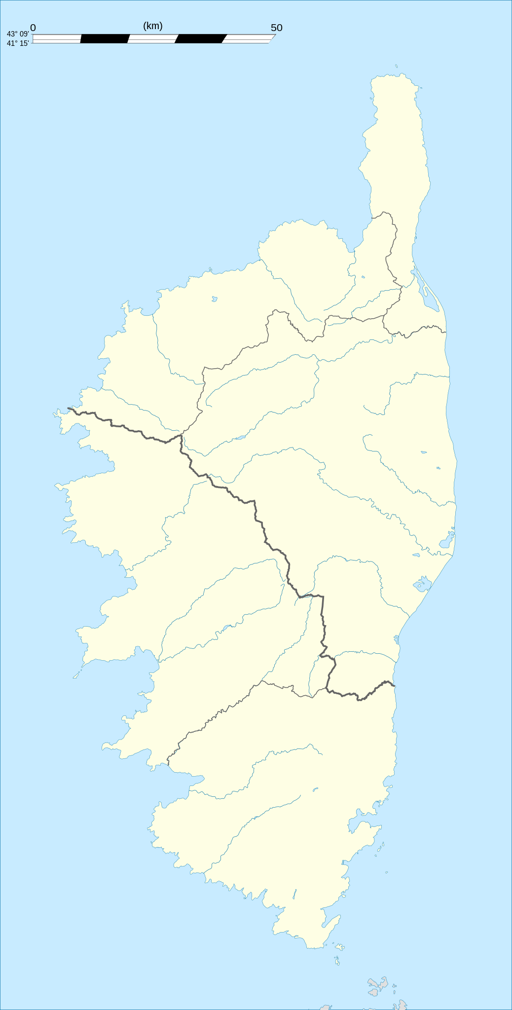
English: Blank administrative map of the region of Corsica, France, for geo-location purpose, with distinct boundaries for departments and arrondissements as they are since January 2010.
The former version of the map shows the boundaries as they were until December 2009. Français : Carte administrative vierge de la région Corse, France, destinée à la géolocalisation, avec limite distincte des départements et arrondissements tels que depuis janvier 2010. L'ancienne version de la carte montre le découpage administratif tel qu'il était jusqu'en décembre 2009. Equirectangular projection, WGS84 datum
Geographic limits of the map:
|
||
| Petsa | 2008-08, modified 02-2010 | ||
| Ginkuhaan |
Kalugaringon nga buhat
|
||
| Awtor | Eric Gaba (Sting - fr:Sting) | ||
| Pagtugot (Gin-uutro paggamit inin nga file) |
|
||
| Other versions |
|

Palilisensya:
I, the copyright holder of this work, hereby publish it under the following licenses:
Ini nga file in nakalisensya ha ilarom han Creative Commons Attribution-Share Alike 3.0 Unported license.
- Talwas ka:
- para han pagpasaro – para han pagkopya, pagpakalat ngan pagpadangat han buhat
- para han pagremix – pag-adapt han buhat
- Ha ilarom an masunod nga mga kondisyon:
- attribution – Kinahanglanon mo tagan hin kaangayan nga credit, paghatag hin sumpay ngadto ha lisensya, ngan igbutang an imo ginbag-ohan nga binuhat. Puydi mo ini buhaton ha bisan ano nga resonable nga pamaagi, pero diri nimo pagawson nga an naghatag hin lisensya nag-eendorso ha imo o ha imo paggamit.
- share alike – Kun imo ginsagol-hin-otro, gin-iba, o gin-hingayad han buhat, ikaw in angay gud là magpakalat han imo gin-amot ha ilarom la han [http:creativecommons.org/share-your-work/licensing-considerations/compatible-licenses pareho o naangay nga lisensya] sugad han orihinal.

|
An permiso in ginhatag ha pagkopya, pagpakalat ngan/o pagliwat hinin nga dokumento ha ilarom han mga termino han GNU Free Documentation License, Version 1.2 o mas uruurhi nga version nga ginmantala han Free Software Foundation; nga may-ada waray Invariant Sections, waray Front-Cover Texts, ngan waray Back-Cover Texts. May-ada kopya hin lisensya nga ginlalakip ha seksyon nga may-ada pamagat nga GNU Free Documentation License. |
Puydi ka pumili hin lisenysa nga karuyag mo.
Kaagi han paypay
Pidlita an adlaw/oras para makit-an an fayl nga naggawas hito nga oras.
| Pitsa/Oras | Thumbnail | Mga dimensyon | Gumaramit | Komento | |
|---|---|---|---|---|---|
| waray pa kasasapawi | 21:21, 27 Septyembre 2015 | | 824 × 1,625 (191 nga KB) | Iowajason | Edited SVG language to remove two local file path references. These SVG attributes were flagged by other wikis as insecure when trans-wiki'd. No change to substantive content. Submitted as a minor edit, with all licenses to reflect those of the prior v... |
| 19:29, 22 Pebrero 2010 |  | 824 × 1,625 (191 nga KB) | Sting | Updated arrondissements boundaries of Haute-Corse | |
| 19:52, 14 Agosto 2008 |  | 824 × 1,625 (209 nga KB) | Sting | == Summary == {{Location|42|12|00|N|09|03|00|E|scale:2000000}} <br/> {{Information |Description={{en|Blank administrative map of the region of Corsica, France, for geo-location purpose, with distinct boundaries for departments and arrondis |
Mga Sumpay
An mga nasunod nga mga pakli nasumpay hini nga paypay:
Global file usage
An masunod nga iba nga mga wiki in nagamit hini nga file:
- Paggamit ha als.wikipedia.org
- Paggamit ha ar.wikipedia.org
- Paggamit ha ast.wikipedia.org
- Paggamit ha azb.wikipedia.org
- Paggamit ha bg.wikipedia.org
- Paggamit ha bn.wikipedia.org
- Paggamit ha bs.wikipedia.org
- Paggamit ha ca.wikipedia.org
- Paggamit ha ceb.wikipedia.org
- Paggamit ha cs.wikipedia.org
- Paggamit ha da.wikipedia.org
- Paggamit ha de.wikipedia.org
- Alistro
- Filitosa
- Porto (Korsika)
- L’Ospédale
- Castellu di Cucuruzzu
- Torre von Ceccia
- Vorlage:Positionskarte Frankreich Korsika
- Wikipedia:Kartenwerkstatt/Positionskarten/Europa
- Monument von Alo-Bisucce
- Vorlage Diskussion:Infobox Gemeinde in Frankreich/Archiv/2008
- Torre von Tappa
- Torre von Torre
- Ponte Novu
- Paggamit ha de.wikivoyage.org
- Paggamit ha dsb.wikipedia.org
- Paggamit ha el.wikipedia.org
- Paggamit ha en.wikipedia.org
Kitaa durudamo nga global usage hinin nga file.