
Paypay:DCongoManiema.png
Waray mas hiruhitaas nga resolusyon.
DCongoManiema.png (600 × 600 nga pixel, kadako han fayl: 88 nga KB, MIME nga tipo: image/png)
Dalikyat nga pulong
| Tigtulidong |
Svenska: DR Kongo, karta, från engelska Wikipedia. |
| Petsa | 27 Oktubre 2005 (original upload date) |
| Ginkuhaan | No machine-readable source provided. Own work assumed (based on copyright claims). |
| Awtor | No machine-readable author provided. Eruedin assumed (based on copyright claims). |
Palilisensya:
| I, the copyright holder of this work, release this work into the public domain. This applies worldwide. In some countries this may not be legally possible; if so: I grant anyone the right to use this work for any purpose, without any conditions, unless such conditions are required by law. |
Kaagi han paypay
Pidlita an adlaw/oras para makit-an an fayl nga naggawas hito nga oras.
| Pitsa/Oras | Thumbnail | Mga dimensyon | Gumaramit | Komento | |
|---|---|---|---|---|---|
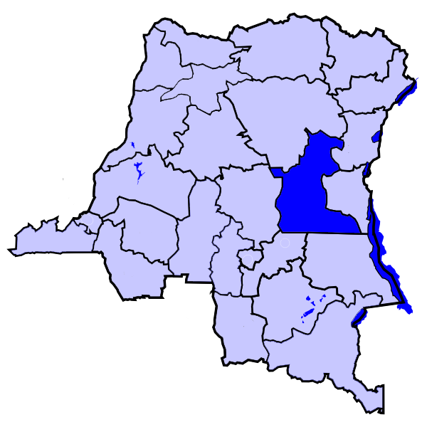
| waray pa kasasapawi | 09:38, 28 Pebrero 2006 | | 600 × 600 (88 nga KB) | Themalau | Locator map for the Province of Maniema, in the Democratic Republic of the Congo. {{PD-self}} |
| 10:32, 27 Oktubre 2005 |  | 200 × 197 (16 nga KB) | Eruedin |
Mga Sumpay
An mga nasunod nga mga pakli nasumpay hini nga paypay:
Global file usage
An masunod nga iba nga mga wiki in nagamit hini nga file:
- Paggamit ha be.wikipedia.org
- Paggamit ha en.wikipedia.org
- Paggamit ha he.wikipedia.org
- Paggamit ha hu.wikipedia.org
- Paggamit ha kg.wikipedia.org
- Paggamit ha ln.wikipedia.org
- Paggamit ha ms.wikipedia.org
- Paggamit ha pt.wikipedia.org
- Paggamit ha ro.wikipedia.org
- Paggamit ha wa.wikipedia.org