
Paypay:Polyura narcaeus MHNT ventre.jpg

Kadako hin nga pahiuna nga pagawas: 630 × 599 nga mga pixel. Iba nga mga resolusyon: 252 × 240 nga mga pixel | 505 × 480 nga mga pixel | 807 × 768 nga mga pixel | 1,076 × 1,024 nga mga pixel | 2,152 × 2,048 nga mga pixel | 3,874 × 3,686 nga mga pixel.
Orihinal nga paypay (3,874 × 3,686 nga pixel, kadako han fayl: 5.18 nga MB, MIME nga tipo: image/jpeg)
|
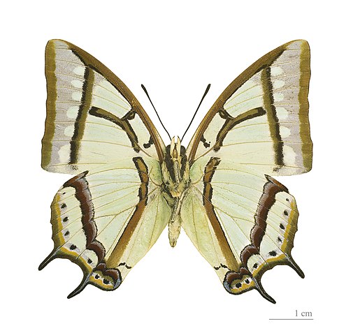
Polyura narcaeus meghaduta (Fruhstorfer) | |||||||||||||||||||||||||||||||||||||||||||
Dalikyat nga pulong
| |||||||||||||||||||||||||||||||||||||||||||


Kaagi han paypay
Pidlita an adlaw/oras para makit-an an fayl nga naggawas hito nga oras.
| Pitsa/Oras | Thumbnail | Mga dimensyon | Gumaramit | Komento | |
|---|---|---|---|---|---|
| waray pa kasasapawi | 14:33, 8 Agosto 2011 | | 3,874 × 3,686 (5.18 nga MB) | Archaeodontosaurus | {{Information |Description ={{en|1=x}} |Source ={{own}} |Author =Archaeodontosaurus |Date = |Permission = |other_versions = }} |
Mga Sumpay
An mga nasunod nga mga pakli nasumpay hini nga paypay:
Global file usage
An masunod nga iba nga mga wiki in nagamit hini nga file:
- Paggamit ha ast.wikipedia.org
- Paggamit ha ceb.wikipedia.org
- Paggamit ha es.wikipedia.org
- Paggamit ha fr.wikipedia.org
- Paggamit ha la.wikipedia.org
- Paggamit ha nl.wikipedia.org
- Paggamit ha no.wikipedia.org
- Paggamit ha pt.wikipedia.org
- Paggamit ha sv.wikipedia.org
- Paggamit ha www.wikidata.org