
Paypay:15th century map of Turkey region.jpg
Kadako hin nga pahiuna nga pagawas: 800 × 600 nga mga pixel. Iba nga mga resolusyon: 320 × 240 nga mga pixel | 640 × 480 nga mga pixel | 1,024 × 768 nga mga pixel | 1,280 × 960 nga mga pixel | 2,048 × 1,536 nga mga pixel.
Orihinal nga paypay (2,048 × 1,536 nga pixel, kadako han fayl: 884 nga KB, MIME nga tipo: image/jpeg)
| Tigtulidong |
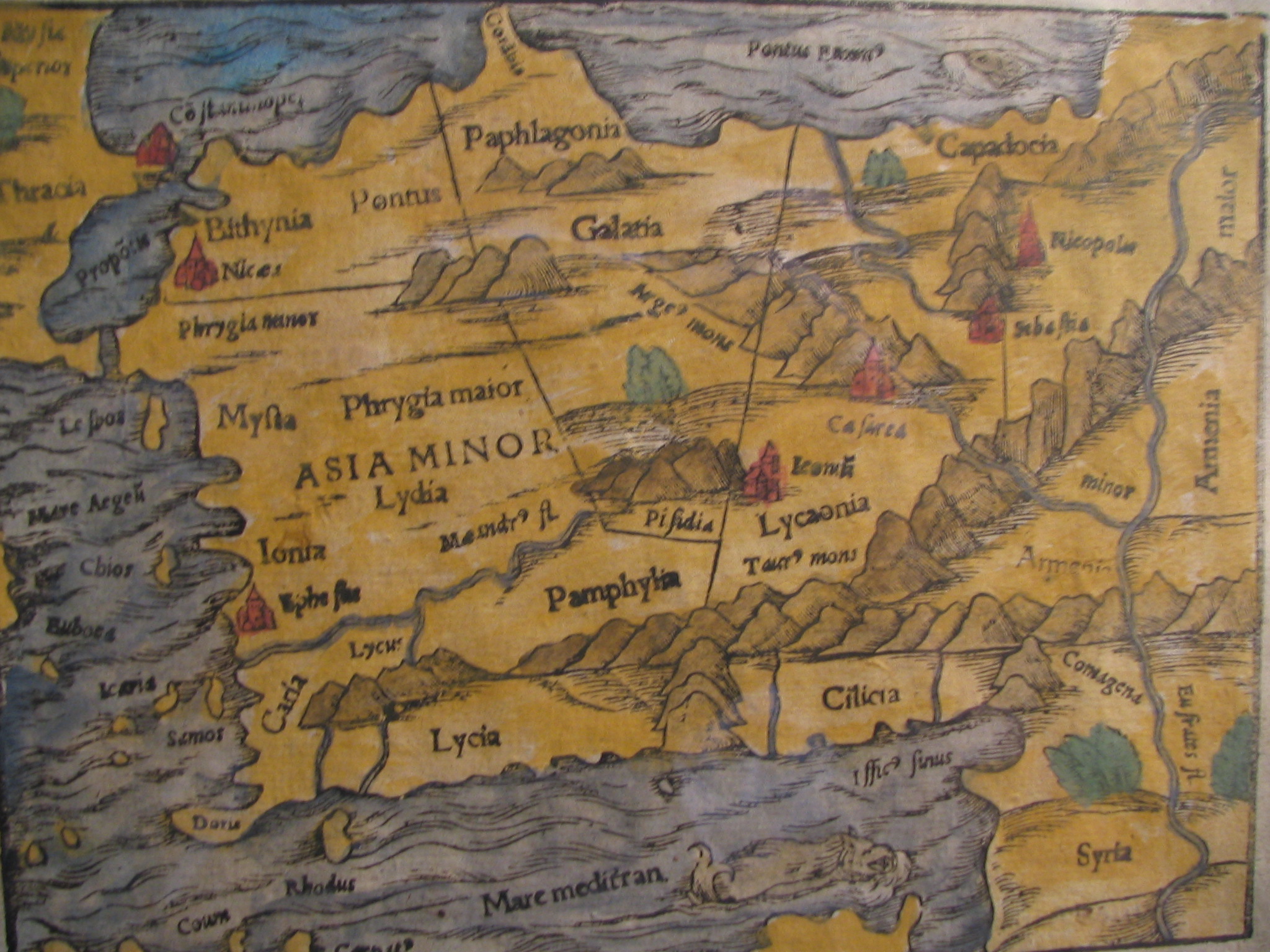
English: Picture of a map of the region of what is now Turkey from the 15th Century. I own this map, having purchased it, and have all official documentation regarding its authenticity. |
||||
| Petsa | 15 century, Digitized on: 10 Disyembre 2006, 19:42:23 | ||||
| Ginkuhaan |
|
||||
| Awtor | Unknown author, Photographer: Electionworld | ||||
| Pagtugot (Gin-uutro paggamit inin nga file) |
This file is licensed under the Creative Commons Attribution-Share Alike 2.5 Generic license.
|
||||

Kaagi han paypay
Pidlita an adlaw/oras para makit-an an fayl nga naggawas hito nga oras.
| Pitsa/Oras | Thumbnail | Mga dimensyon | Gumaramit | Komento | |
|---|---|---|---|---|---|
| waray pa kasasapawi | 14:04, 21 Pebrero 2018 | | 2,048 × 1,536 (884 nga KB) | Ket | Reverted to version as of 09:40, 17 December 2006 (UTC) |
| 14:03, 21 Pebrero 2018 |  | 2,048 × 1,536 (921 nga KB) | Ket | better contrast | |
| 09:40, 17 Disyembre 2006 |  | 2,048 × 1,536 (884 nga KB) | Electionworld | {{ew|en|Rarelibra}} == Summary == Picture of a map of the region of what is now Turkey from the 15th Century. I own this map, having purchased it, and have all official documentation regarding its authenticity. == Licensing == {{cc-by-sa-2.5}} |
Mga Sumpay
An mga nasunod nga mga pakli nasumpay hini nga paypay:
Global file usage
An masunod nga iba nga mga wiki in nagamit hini nga file:
- Paggamit ha ar.wikipedia.org
- Paggamit ha ast.wikipedia.org
- Paggamit ha bg.wikipedia.org
- Paggamit ha ca.wikipedia.org
- Paggamit ha cs.wikipedia.org
- Paggamit ha da.wikipedia.org
- Paggamit ha de.wikipedia.org
- Paggamit ha el.wikipedia.org
- Paggamit ha en.wikipedia.org
- Paggamit ha eo.wikipedia.org
- Paggamit ha es.wikipedia.org
- Paggamit ha eu.wikipedia.org
- Paggamit ha fr.wikipedia.org
- Paggamit ha gl.wikipedia.org
- Paggamit ha hr.wikipedia.org
Kitaa durudamo nga global usage hinin nga file.