
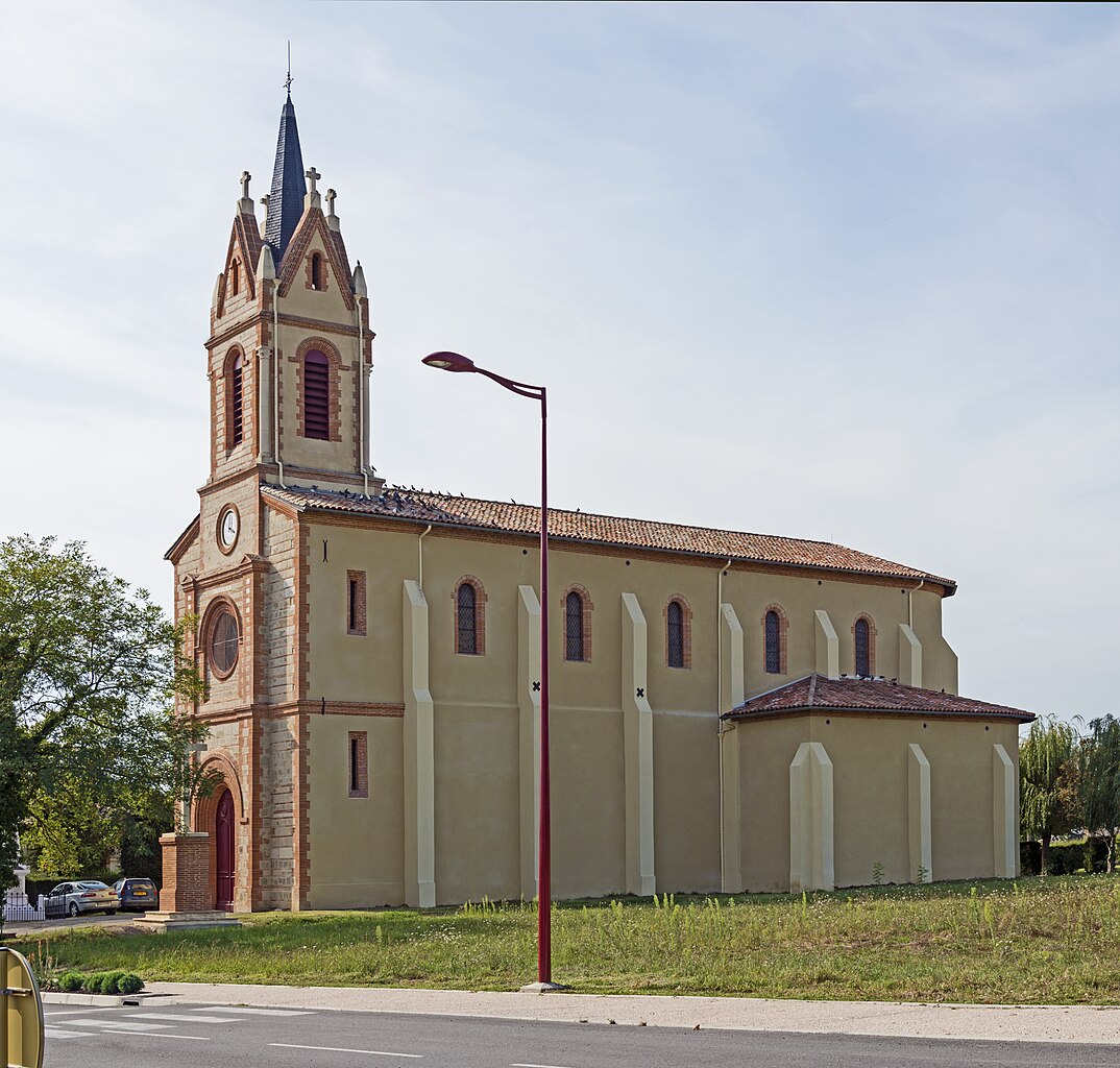
Paypay:31 - Église Saint-Pierre de Villeneuve-lès-Bouloc - Exterior.jpg

Kadako hin nga pahiuna nga pagawas: 629 × 600 nga mga pixel. Iba nga mga resolusyon: 252 × 240 nga mga pixel | 503 × 480 nga mga pixel | 805 × 768 nga mga pixel | 1,074 × 1,024 nga mga pixel | 2,148 × 2,048 nga mga pixel | 4,818 × 4,594 nga mga pixel.
Orihinal nga paypay (4,818 × 4,594 nga pixel, kadako han fayl: 10.49 nga MB, MIME nga tipo: image/jpeg)
Dalikyat nga pulong
|
| |||||||||||||||||||||||||||||||


Kaagi han paypay
Pidlita an adlaw/oras para makit-an an fayl nga naggawas hito nga oras.
| Pitsa/Oras | Thumbnail | Mga dimensyon | Gumaramit | Komento | |
|---|---|---|---|---|---|
| waray pa kasasapawi | 18:38, 8 Oktubre 2013 | | 4,818 × 4,594 (10.49 nga MB) | Archaeodontosaurus | {{Information |Description ={{en|1=c}} |Source ={{own}} |Author =Archaeodontosaurus |Date = |Permission = |other_versions = }} |
Mga Sumpay
An mga nasunod nga mga pakli nasumpay hini nga paypay:
Global file usage
An masunod nga iba nga mga wiki in nagamit hini nga file:
- Paggamit ha an.wikipedia.org
- Paggamit ha ca.wikipedia.org
- Paggamit ha ceb.wikipedia.org
- Paggamit ha de.wikipedia.org
- Paggamit ha en.wikipedia.org
- Paggamit ha es.wikipedia.org
- Paggamit ha eu.wikipedia.org
- Paggamit ha fr.wikipedia.org
- Paggamit ha it.wikipedia.org
- Paggamit ha oc.wikipedia.org
- Paggamit ha pl.wikipedia.org
- Paggamit ha pms.wikipedia.org
- Paggamit ha pt.wikipedia.org
- Paggamit ha ro.wikipedia.org
- Paggamit ha ru.wikipedia.org
- Paggamit ha simple.wikipedia.org
- Paggamit ha sk.wikipedia.org
- Paggamit ha sv.wikipedia.org
- Paggamit ha uk.wikipedia.org
- Paggamit ha vi.wikipedia.org
- Paggamit ha vo.wikipedia.org
- Paggamit ha www.wikidata.org
- Paggamit ha zh.wikipedia.org