
Paypay:Administrative map of the Lautem district of East Timor.png

Kadako hin nga pahiuna nga pagawas: 800 × 545 nga mga pixel. Iba nga mga resolusyon: 320 × 218 nga mga pixel | 640 × 436 nga mga pixel | 1,024 × 697 nga mga pixel | 1,280 × 871 nga mga pixel | 2,405 × 1,637 nga mga pixel.
Orihinal nga paypay (2,405 × 1,637 nga pixel, kadako han fayl: 288 nga KB, MIME nga tipo: image/png)
| Tigtulidong |
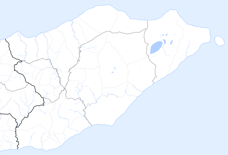
Deutsch: Verwaltungskarte des Distrikts Lautam in Osttimor
English: Administrative map of the Lautam district of East Timor |
| Petsa | |
| Ginkuhaan | Self made, using informations from theTimor-Leste GIS Portal |
| Awtor | Maximilian Dörrbecker (Chumwa) |
| Pagtugot (Gin-uutro paggamit inin nga file) |
I, the copyright holder of this work, hereby publish it under the following license: This file is licensed under the Creative Commons Attribution-Share Alike 2.5 Generic license.
Sie dürfen das Bild zu den folgenden Bedingungen nutzen:
|
Kaagi han paypay
Pidlita an adlaw/oras para makit-an an fayl nga naggawas hito nga oras.
| Pitsa/Oras | Thumbnail | Mga dimensyon | Gumaramit | Komento | |
|---|---|---|---|---|---|
| waray pa kasasapawi | 05:14, 22 Septyembre 2009 | | 2,405 × 1,637 (288 nga KB) | Chumwa | auf Blank Map zurückgesetzt |
| 05:47, 18 Septyembre 2009 |  | 2,405 × 1,637 (322 nga KB) | Chumwa | {{Information |Description= {{ de }} Verwaltungskarte des Distrikts Lautam in Osttimor {{ en }} Administrative map of the Lautam district of East Timor |Source=Self made, using informations from the[http://websig.civil.ist.utl.pt/timorgis Timor-Leste GIS |
Mga Sumpay
Waray pakli nga nagamit hinin nga file.
Global file usage
An masunod nga iba nga mga wiki in nagamit hini nga file:
- Paggamit ha de.wikipedia.org