
Paypay:Argentina Río Negro location map.svg

Size of this PNG preview of this SVG file: 798 × 600 nga mga pixel. Iba nga mga resolusyon: 319 × 240 nga mga pixel | 639 × 480 nga mga pixel | 1,022 × 768 nga mga pixel | 1,280 × 962 nga mga pixel | 2,560 × 1,924 nga mga pixel | 1,095 × 823 nga mga pixel.
Orihinal nga paypay (SVG nga fayl, ginbabanabanahan nga 1,095 × 823 nga mga pixel, kadako han fayl: 352 nga KB)
Dalikyat nga pulong
| Tigtulidong |
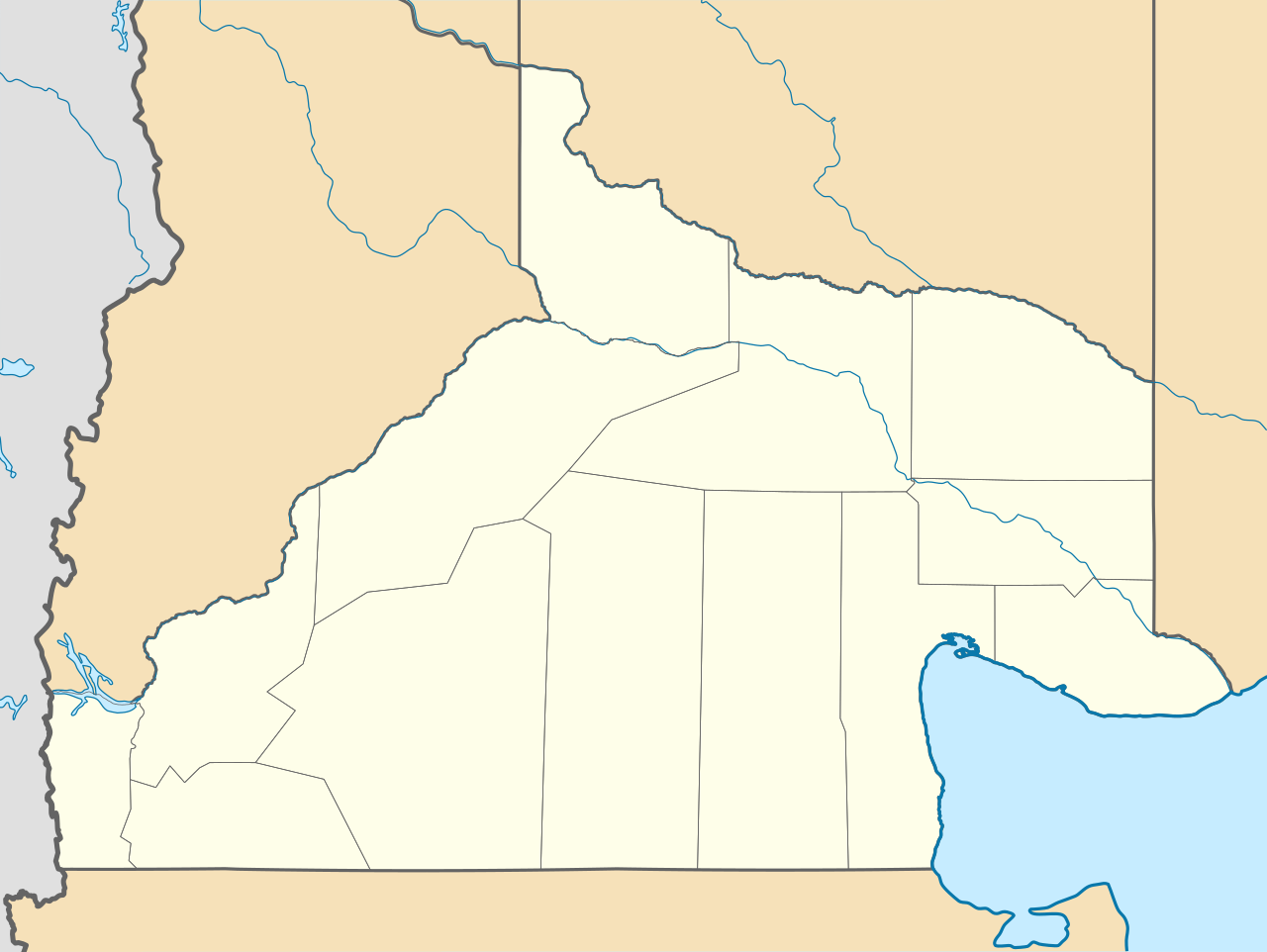
Deutsch: Positionskarte von Río Negro (Argentinien) English: Location map of Río Negro province (Argentina) Español: Mapa de localización de la Provincia de Río Negro.
Equirectangular projection, N/S stretching 130 %. Geographic limits of the map:
|
| Petsa | (UTC) |
| Ginkuhaan |
This file was derived from: |
| Awtor |
|
| Other versions |
|

Palilisensya:
Ini nga file in nakalisensya ha ilarom han Creative Commons Attribution-Share Alike 3.0 Unported license.
- Talwas ka:
- para han pagpasaro – para han pagkopya, pagpakalat ngan pagpadangat han buhat
- para han pagremix – pag-adapt han buhat
- Ha ilarom an masunod nga mga kondisyon:
- attribution – Kinahanglanon mo tagan hin kaangayan nga credit, paghatag hin sumpay ngadto ha lisensya, ngan igbutang an imo ginbag-ohan nga binuhat. Puydi mo ini buhaton ha bisan ano nga resonable nga pamaagi, pero diri nimo pagawson nga an naghatag hin lisensya nag-eendorso ha imo o ha imo paggamit.
- share alike – Kun imo ginsagol-hin-otro, gin-iba, o gin-hingayad han buhat, ikaw in angay gud là magpakalat han imo gin-amot ha ilarom la han [http:creativecommons.org/share-your-work/licensing-considerations/compatible-licenses pareho o naangay nga lisensya] sugad han orihinal.
Original upload log
This image is a derivative work of the following images:
- File:Argentina_location_map.svg licensed with Cc-by-sa-3.0, GFDL
- File:Map_of_Río_Negro_Province.svg licensed with Cc-by-sa-3.0,2.5,2.0,1.0, GFDL
Uploaded with derivativeFX
Kaagi han paypay
Pidlita an adlaw/oras para makit-an an fayl nga naggawas hito nga oras.
| Pitsa/Oras | Thumbnail | Mga dimensyon | Gumaramit | Komento | |
|---|---|---|---|---|---|
| waray pa kasasapawi | 23:41, 26 Disyembre 2022 | | 1,095 × 823 (352 nga KB) | GrandEscogriffe | restretching, former one was incorrect due to incorrect documentation |
| 22:55, 23 Nobyembre 2022 |  | 1,095 × 796 (353 nga KB) | GrandEscogriffe | more correct north-south stretching | |
| 20:30, 22 Oktubre 2017 |  | 1,095 × 692 (356 nga KB) | Janitoalevic | Límites más precisos. | |
| 09:34, 10 Septyembre 2017 |  | 1,095 × 692 (352 nga KB) | Milenioscuro | capas | |
| 18:40, 25 Septyembre 2012 |  | 1,095 × 692 (496 nga KB) | Milenioscuro | {{Information |Description ={{en|1=Location map of Río Negro province}} |Source ={{own}} |Author =Shadowxfox |Date = |Permission = |other_versions = }} |
Mga Sumpay
An mga nasunod nga mga pakli nasumpay hini nga paypay:
Global file usage
An masunod nga iba nga mga wiki in nagamit hini nga file:
- Paggamit ha ar.wikipedia.org
- Paggamit ha bg.wikipedia.org
- Paggamit ha ceb.wikipedia.org
- Paggamit ha da.wikipedia.org
- Paggamit ha de.wikipedia.org
- Paggamit ha en.wikipedia.org
- Paggamit ha eo.wikipedia.org
- Paggamit ha es.wikipedia.org
- El Bolsón
- Viedma
- Cipolletti
- General Roca (Río Negro)
- San Antonio Oeste
- Las Grutas
- San Antonio Este
- Cinco Saltos
- Choele Choel
- Maquinchao
- Pilcaniyeu
- Sierra Grande
- General Enrique Godoy
- Villa Regina
- El Cuy
- Sierra Colorada
- Ñorquincó
- Río Colorado (Río Negro)
- Ingeniero Jacobacci
- General Conesa (Río Negro)
- Valcheta
- Aeropuerto Internacional Teniente Luis Candelaria
- Chimpay
- Allen
- El Cóndor (Río Negro)
- General Fernández Oro
- Dina Huapi
- Los Menucos
- Catriel (Río Negro)
- Lamarque (Río Negro)
- Playas Doradas
- Ingeniero Luis A. Huergo
- Villa Cerro Catedral
Kitaa durudamo nga global usage hinin nga file.