
Paypay:Colombia location map.svg

Size of this PNG preview of this SVG file: 512 × 579 nga mga pixel. Iba nga mga resolusyon: 212 × 240 nga mga pixel | 424 × 480 nga mga pixel | 679 × 768 nga mga pixel | 905 × 1,024 nga mga pixel | 1,811 × 2,048 nga mga pixel.
Orihinal nga paypay (SVG nga fayl, ginbabanabanahan nga 512 × 579 nga mga pixel, kadako han fayl: 1.07 nga MB)
Dalikyat nga pulong
| Tigtulidong |
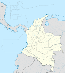
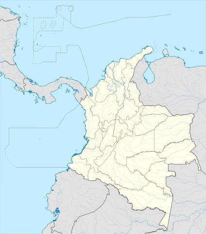
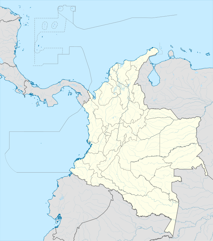
English: Location map of Colombia
Equirectangular projection. Geographic limits of the map:
|
| Petsa | |
| Ginkuhaan | Kalugaringon nga buhat (Original text: own work, using Demis data) |
| Awtor | Milenioscuro |
| Other versions |
Derivative works of this file: Bajo Nuevo Colombia location.png
|
| SVG genesis | This W3C-invalid map was created with Adobe Illustrator. |


.svg)

Palilisensya:
Milenioscuro, the copyright holder of this work, hereby publishes it under the following license:
Ini nga file in nakalisensya ha ilarom han Creative Commons Attribution-Share Alike 3.0 Unported license.
Attribution: Milenioscuro
- Talwas ka:
- para han pagpasaro – para han pagkopya, pagpakalat ngan pagpadangat han buhat
- para han pagremix – pag-adapt han buhat
- Ha ilarom an masunod nga mga kondisyon:
- attribution – Kinahanglanon mo tagan hin kaangayan nga credit, paghatag hin sumpay ngadto ha lisensya, ngan igbutang an imo ginbag-ohan nga binuhat. Puydi mo ini buhaton ha bisan ano nga resonable nga pamaagi, pero diri nimo pagawson nga an naghatag hin lisensya nag-eendorso ha imo o ha imo paggamit.
- share alike – Kun imo ginsagol-hin-otro, gin-iba, o gin-hingayad han buhat, ikaw in angay gud là magpakalat han imo gin-amot ha ilarom la han [http:creativecommons.org/share-your-work/licensing-considerations/compatible-licenses pareho o naangay nga lisensya] sugad han orihinal.
| Annotations | This image is annotated: View the annotations at Commons |


Kaagi han paypay
Pidlita an adlaw/oras para makit-an an fayl nga naggawas hito nga oras.
| Pitsa/Oras | Thumbnail | Mga dimensyon | Gumaramit | Komento | |
|---|---|---|---|---|---|
| waray pa kasasapawi | 20:17, 22 Pebrero 2022 | | 512 × 579 (1.07 nga MB) | Milenioscuro | standard colors |
| 11:10, 1 Disyembre 2017 |  | 2,027 × 2,294 (1.37 nga MB) | Milenioscuro | limits | |
| 11:00, 1 Disyembre 2017 |  | 2,027 × 2,294 (1.37 nga MB) | Milenioscuro | more visible limits | |
| 05:48, 28 Enero 2014 |  | 2,027 × 2,294 (1.39 nga MB) | Milenioscuro | correction of departamental, international and maritime boundaries, courses of rivers, coastline, and line thickness | |
| 17:01, 29 Mayo 2012 |  | 2,007 × 2,298 (1.07 nga MB) | Milenioscuro | correction of some departamental borders | |
| 18:58, 26 Marso 2012 |  | 2,007 × 2,298 (1.08 nga MB) | Milenioscuro | correction of international borders, added layers, rivers, etc | |
| 08:12, 17 Nobyembre 2011 |  | 2,007 × 2,298 (1.04 nga MB) | Milenioscuro | simplification of rivers, correction of some borders | |
| 23:48, 2 Nobyembre 2009 |  | 2,007 × 2,298 (1.14 nga MB) | Milenioscuro | thick boundaries of departments | |
| 09:10, 1 Nobyembre 2009 |  | 2,007 × 2,298 (1.15 nga MB) | Milenioscuro | Adjusted to match style of location maps 2008 | |
| 07:30, 26 Oktubre 2009 |  | 2,268 × 2,676 (1.4 nga MB) | Milenioscuro | maritime boundaries |
Mga Sumpay
An mga nasunod nga mga pakli nasumpay hini nga paypay:
Global file usage
An masunod nga iba nga mga wiki in nagamit hini nga file:
- Paggamit ha af.wikipedia.org
- Paggamit ha als.wikipedia.org
- Paggamit ha an.wikipedia.org
- Paggamit ha ar.wikipedia.org
- Paggamit ha ast.wikipedia.org
- Bogotá
- Cali
- Estadiu Doce de Octubre
- Puerto Colombia (Guainía)
- González (Cesar)
- Estadiu Deportivo Cali
- Módulu:Mapa de llocalización/datos/Colombia
- Ríu Magdalena
- Capitoliu Nacional de Colombia
- Comisión Colombiana del Espaciu
- Nevado del Ruiz
- Módulu:Mapa de llocalización/datos/Colombia/usu
- Barranquilla
- Cartagena de Indias
- Estadiu Metropolitanu Roberto Meléndez
- Palenque de San Basilio
- Copa América 2001
- Sierra de Chiribiquete
- Inírida
- Aeropuertu Internacional El Dorado
- Casa d'Adoración Norte del Cauca
- Aeropuertu Guaymaral
- Aeropuertu Internacional Alfonso Bonilla Aragón
- Aeropuertu Internacional Alfredo Vásquez Cobo
- Aeropuertu Internacional Camilo Daza
- Aeropuertu Internacional El Edén
- Aeropuertu Internacional Ernesto Cortissoz
- Aeropuertu Internacional Gustavo Rojas Pinilla
- Aeropuertu Internacional José María Córdova
- Aeropuertu Internacional Matecaña
Kitaa durudamo nga global usage hinin nga file.