
Paypay:Cumbria UK relief location map.jpg
Kadako hin nga pahiuna nga pagawas: 508 × 599 nga mga pixel. Iba nga mga resolusyon: 203 × 240 nga mga pixel | 407 × 480 nga mga pixel | 651 × 768 nga mga pixel | 868 × 1,024 nga mga pixel | 2,003 × 2,363 nga mga pixel.
Orihinal nga paypay (2,003 × 2,363 nga pixel, kadako han fayl: 700 nga KB, MIME nga tipo: image/jpeg)
| Tigtulidong |
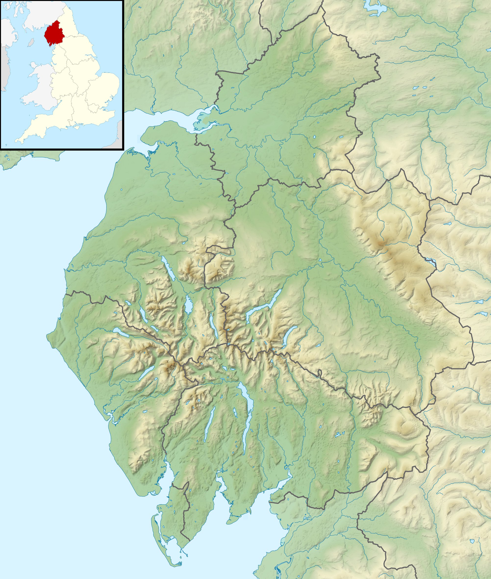
Relief map of Cumbria, UK. Equirectangular map projection on WGS 84 datum, with N/S stretched 170% Geographic limits:
|
| Petsa | |
| Ginkuhaan |
|
| Awtor | Nilfanion, created using Ordnance Survey data |
| Pagtugot (Gin-uutro paggamit inin nga file) |
Ini nga file in nakalisensya ha ilarom han Creative Commons Attribution-Share Alike 3.0 Unported license. Attribution: Contains Ordnance Survey data © Crown copyright and database right
|
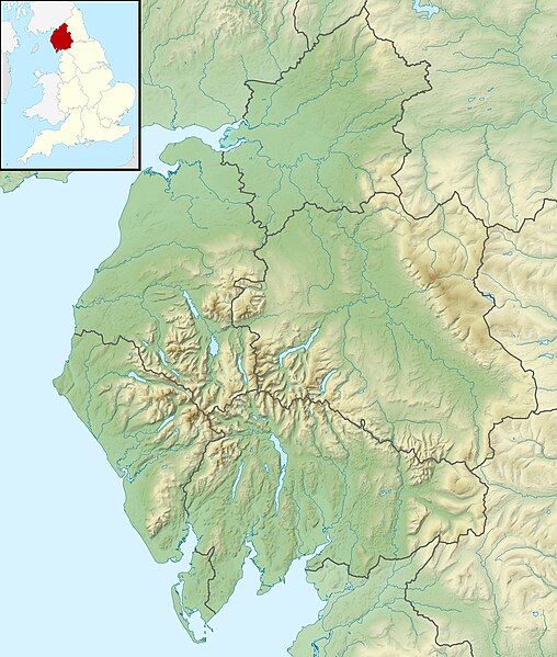
| Other versions | File:Cumbria UK district map (blank).svg - Blank map |
.svg)
Kaagi han paypay
Pidlita an adlaw/oras para makit-an an fayl nga naggawas hito nga oras.
| Pitsa/Oras | Thumbnail | Mga dimensyon | Gumaramit | Komento | |
|---|---|---|---|---|---|
| waray pa kasasapawi | 01:24, 29 Nobyembre 2011 | | 2,003 × 2,363 (700 nga KB) | Nilfanion | {{Information |Description=Relief map of Cumbria, UK. Equirectangular map projection on WGS 84 datum, with N/S stretched 170% Geographic limits: *West: 3.80W *East: 2.10W *North: 55.20N *South: 54.02N |Source=[[w:Ordnance Survey|Ordnance S |
Mga Sumpay
An mga nasunod nga mga pakli nasumpay hini nga paypay:
Global file usage
An masunod nga iba nga mga wiki in nagamit hini nga file:
- Paggamit ha ar.wikipedia.org
- Paggamit ha arz.wikipedia.org
- Paggamit ha bg.wikipedia.org
- Paggamit ha ca.wikipedia.org
- Paggamit ha ceb.wikipedia.org
- Paggamit ha en.wikipedia.org
- River Derwent, Cumbria
- Morecambe Bay
- Cross Fell
- River Leven, Cumbria
- River Esk (Ravenglass)
- River Cocker, Cumbria
- Firbank Fell
- Green Hill (Lancashire)
- Haweswater Beck
- River Mite
- Thurstonfield Lough
- River Greta, Cumbria
- Rusland Pool
- River Glenderamackin
- River Bela
- Peasey Beck
- Stainton Beck
- River Ellen
- Kershope Burn
- River Caldew
- River Petteril
- River Dee, Cumbria
- Clough River
- Solway Aviation Museum
- Black Fell (Pennines)
- Seathwaite Tarn
- Appleby Fells
- Murton Fell
- Moss Eccles Tarn
- Little Langdale
- Wikipedia talk:UK Wikipedians' notice board/Archive 15
- Killhope Cross
- Template:Infobox mountain pass/testcases
- Alcock Tarn
- Roe Beck
- Cam Beck
- Module:Location map/data/United Kingdom Cumbria
- Module:Location map/data/Cumbria
Kitaa durudamo nga global usage hinin nga file.