
Paypay:Czech Republic location map.svg

Size of this PNG preview of this SVG file: 800 × 487 nga mga pixel. Iba nga mga resolusyon: 320 × 195 nga mga pixel | 640 × 389 nga mga pixel | 1,024 × 623 nga mga pixel | 1,280 × 779 nga mga pixel | 2,560 × 1,558 nga mga pixel | 1,004 × 611 nga mga pixel.
Orihinal nga paypay (SVG nga fayl, ginbabanabanahan nga 1,004 × 611 nga mga pixel, kadako han fayl: 152 nga KB)
Dalikyat nga pulong
| Tigtulidong |
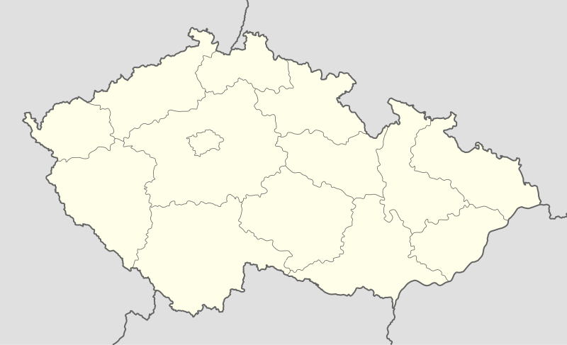
Deutsch: Positionskarte von Tschechien
Quadratische Plattkarte, N-S-Streckung 150 %. Geographische Begrenzung der Karte:
English: Location map of the Czech Republic
Equirectangular projection, N/S stretching 150 %. Geographic limits of the map:
|
| Petsa | |
| Ginkuhaan | own work, using United States National Imagery and Mapping Agency data |
| Awtor | Lencer |

|
This map has been made or improved in the German Kartenwerkstatt (Map Lab). You can propose maps to improve as well.
|
Palilisensya:
I, the copyright holder of this work, hereby publish it under the following licenses:

|
An permiso in ginhatag ha pagkopya, pagpakalat ngan/o pagliwat hinin nga dokumento ha ilarom han mga termino han GNU Free Documentation License, Version 1.2 o mas uruurhi nga version nga ginmantala han Free Software Foundation; nga may-ada waray Invariant Sections, waray Front-Cover Texts, ngan waray Back-Cover Texts. May-ada kopya hin lisensya nga ginlalakip ha seksyon nga may-ada pamagat nga GNU Free Documentation License. |
Ini nga file in nakalisensya ha ilarom han Creative Commons Attribution-Share Alike 3.0 Unported license.
- Talwas ka:
- para han pagpasaro – para han pagkopya, pagpakalat ngan pagpadangat han buhat
- para han pagremix – pag-adapt han buhat
- Ha ilarom an masunod nga mga kondisyon:
- attribution – Kinahanglanon mo tagan hin kaangayan nga credit, paghatag hin sumpay ngadto ha lisensya, ngan igbutang an imo ginbag-ohan nga binuhat. Puydi mo ini buhaton ha bisan ano nga resonable nga pamaagi, pero diri nimo pagawson nga an naghatag hin lisensya nag-eendorso ha imo o ha imo paggamit.
- share alike – Kun imo ginsagol-hin-otro, gin-iba, o gin-hingayad han buhat, ikaw in angay gud là magpakalat han imo gin-amot ha ilarom la han [http:creativecommons.org/share-your-work/licensing-considerations/compatible-licenses pareho o naangay nga lisensya] sugad han orihinal.
Puydi ka pumili hin lisenysa nga karuyag mo.
Kaagi han paypay
Pidlita an adlaw/oras para makit-an an fayl nga naggawas hito nga oras.
| Pitsa/Oras | Thumbnail | Mga dimensyon | Gumaramit | Komento | |
|---|---|---|---|---|---|
| waray pa kasasapawi | 12:30, 2 Oktubre 2012 | | 1,004 × 611 (152 nga KB) | Palosirkka | Reverted to version as of 20:07, 22 July 2009 Location maps must remain very accurate |
| 11:47, 2 Oktubre 2012 |  | 1,005 × 611 (72 nga KB) | Palosirkka | Scrubbed with http://codedread.com/scour/ | |
| 20:07, 22 Hulyo 2009 |  | 1,004 × 611 (152 nga KB) | Egg | Removed unnecessary XML elements. | |
| 18:53, 5 Septyembre 2008 |  | 1,004 × 611 (155 nga KB) | Lencer | {{Information |Description= |Source= |Date= |Author= |Permission= |other_versions= }} | |
| 12:16, 16 Agosto 2008 |  | 1,004 × 611 (157 nga KB) | Lencer | {{Information |Description= |Source= |Date= |Author= |Permission= |other_versions= }} | |
| 08:10, 24 Hulyo 2008 |  | 596 × 362 (151 nga KB) | NordNordWest | {{Information |Description= {{de|Positionskarte von Tschechien}} Quadratische Plattkarte, N-S-Streckung 150 %. Geographische Begrenzung der Karte: * N: 51.3° N * S: 48.3° N * W: 11.8° O * O: 19.2° O {{en|Location map of the |
Mga Sumpay
An mga nasunod nga mga pakli nasumpay hini nga paypay:
Global file usage
An masunod nga iba nga mga wiki in nagamit hini nga file:
- Paggamit ha arz.wikipedia.org
- Paggamit ha bg.wikipedia.org
- Paggamit ha bn.wikipedia.org
- Paggamit ha bs.wikipedia.org
- Paggamit ha ckb.wikipedia.org
- Paggamit ha cs.wikipedia.org
- 1. česká fotbalová liga
- Česká hokejová extraliga 1999/2000
- Česká hokejová extraliga 2000/2001
- Česká hokejová extraliga 2001/2002
- Česká hokejová extraliga 2002/2003
- Česká hokejová extraliga 2003/2004
- Česká hokejová extraliga 2004/2005
- Česká hokejová extraliga 2005/2006
- Česká hokejová extraliga 2006/2007
- Česká hokejová extraliga 2007/2008
- 2. česká hokejová liga 1994/1995
- 2. česká hokejová liga 1993/1994
- 2. česká hokejová liga 1995/1996
- 2. česká hokejová liga 1996/1997
- 2. česká hokejová liga 1997/1998
- 2. česká hokejová liga 1998/1999
- 2. česká hokejová liga 1999/2000
- 2. česká hokejová liga 2000/2001
- 2. česká hokejová liga 2001/2002
- Česká hokejová extraliga 2008/2009
- Česká hokejová extraliga 2009/2010
- Česká hokejová extraliga 2010/2011
- 2. česká hokejová liga 2011/2012
- 1. česká hokejová liga 2011/2012
- Česká hokejová extraliga 2011/2012
- Česká hokejová extraliga 2012/2013
- 1. česká hokejová liga 2012/2013
- Česká fotbalová liga 2012/2013
- 2. česká hokejová liga 2012/2013
- Extraliga hokejbalu 2012/2013
- 1. česká hokejová liga 2013/2014
- Česká hokejová extraliga 2013/2014
- Juniorská liga 2012/2013
- Juniorská liga 2013/2014
- 2. česká hokejová liga 2013/2014
- Česká fotbalová liga 2013/2014
- Wikipedie:Mediagrant/Události/Cíle
- CCM extraliga inline hokeje 2014
- Extraliga hokejbalu 2013/2014
Kitaa durudamo nga global usage hinin nga file.