
Paypay:Dorset UK location map.svg

Size of this PNG preview of this SVG file: 800 × 556 nga mga pixel. Iba nga mga resolusyon: 320 × 222 nga mga pixel | 640 × 445 nga mga pixel | 1,024 × 711 nga mga pixel | 1,280 × 889 nga mga pixel | 2,560 × 1,779 nga mga pixel | 1,425 × 990 nga mga pixel.
Orihinal nga paypay (SVG nga fayl, ginbabanabanahan nga 1,425 × 990 nga mga pixel, kadako han fayl: 1.64 nga MB)
| Tigtulidong |
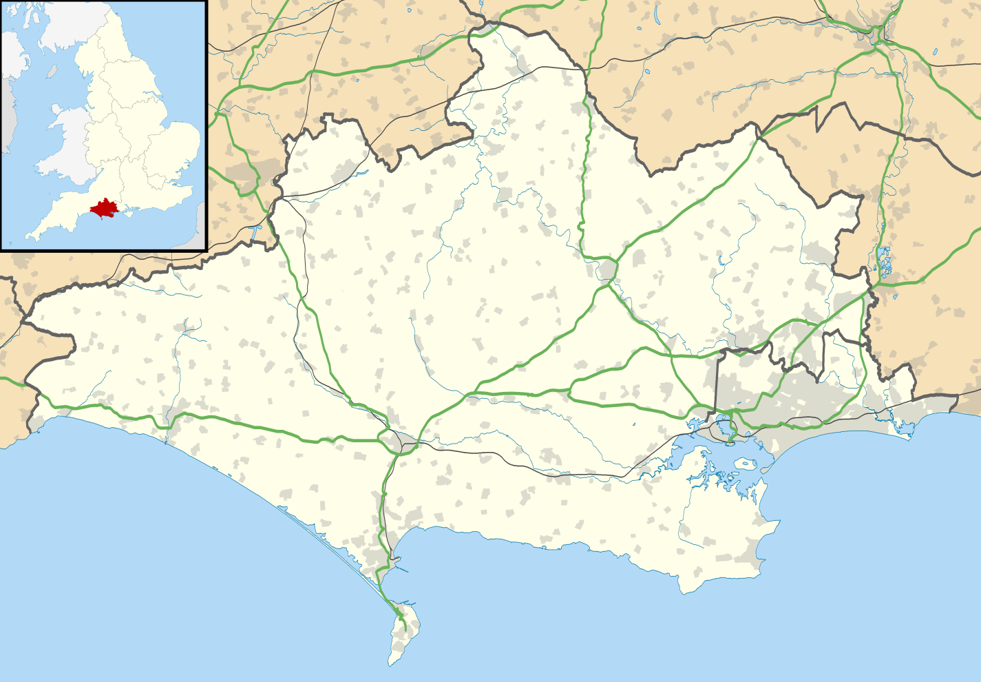
Map of Dorset, UK with the following information shown:
Equirectangular map projection on WGS 84 datum, with N/S stretched 155% Geographic limits:
|
| Petsa | |
| Ginkuhaan |
|
| Awtor | Nilfanion, created using Ordnance Survey data |
| Pagtugot (Gin-uutro paggamit inin nga file) |
Ini nga file in nakalisensya ha ilarom han Creative Commons Attribution-Share Alike 3.0 Unported license. Attribution: Contains Ordnance Survey data © Crown copyright and database right
|
| Other versions | File:Dorset UK district map (blank).svg - Blank map |
.svg)
Kaagi han paypay
Pidlita an adlaw/oras para makit-an an fayl nga naggawas hito nga oras.
| Pitsa/Oras | Thumbnail | Mga dimensyon | Gumaramit | Komento | |
|---|---|---|---|---|---|
| waray pa kasasapawi | 19:26, 22 Abril 2019 | | 1,425 × 990 (1.64 nga MB) | The Equalizer | Resized to original dimensions |
| 04:12, 16 Abril 2019 |  | 1,338 × 982 (1.67 nga MB) | The Equalizer | Updated boundaries reflecting 2019 local government changes | |
| 18:48, 26 Septyembre 2010 |  | 1,425 × 990 (1.73 nga MB) | Nilfanion | {{Information |Description=Map of Dorset, UK with the following information shown: *Administrative borders *Coastline, lakes and rivers *Roads and railways *Urban areas Equirectangular map projection on WGS 84 datum, with N/S stretched 155% |
Mga Sumpay
An mga nasunod nga mga pakli nasumpay hini nga paypay:
Global file usage
An masunod nga iba nga mga wiki in nagamit hini nga file:
- Paggamit ha ar.wikipedia.org
- Paggamit ha bg.wikipedia.org
- Paggamit ha ceb.wikipedia.org
- Paggamit ha de.wikipedia.org
- Brownsea Island
- Isle of Portland
- Corfe Castle
- Christchurch (Dorset)
- Vitality Stadium
- Kernkraftwerk Winfrith
- Bournemouth Airport
- Portland Bill Lighthouse
- Old Harry Rocks
- Poole Harbour
- Durlston Bay
- Isle of Purbeck
- Worbarrow Bay
- St Alban’s Head
- Chapman’s Pool
- Benutzer:Huligan0/Info Box Halbinsel
- Peveril Point
- Benutzer:Huligan0/Info Box Berg
- Swyre Head (Kingston)
- Swyre Head (Lulworth)
- Anvil Point
- Cow Corner
- Parson’s Barn
- Vorlage:Positionskarte England Dorset
- Benutzer:Huligan0/Egmont Bight
- Egmont Bight
- Benutzer:Huligan0/Chapman's Pool
- Benutzer:Huligan0/Worbarrow Tout
- Worbarrow Tout
- Gad Cliff
- Benutzer:Huligan0/Brandy Bay
- Benutzer:Huligan0/Hobarrow Bay
- Benutzer:Huligan0/Pondfield Cove
- Brandy Bay
- Benutzer:Huligan0/Hen Cliff
- Hobarrow Bay
- Benutzer:Huligan0/The Pinnacles
- The Pinnacles (Dorset)
- Paggamit ha el.wikipedia.org
- Paggamit ha en.wikipedia.org
Kitaa durudamo nga global usage hinin nga file.