
Paypay:Egypt relief location map.jpg

Kadako hin nga pahiuna nga pagawas: 650 × 599 nga mga pixel. Iba nga mga resolusyon: 260 × 240 nga mga pixel | 520 × 480 nga mga pixel | 833 × 768 nga mga pixel | 1,055 × 973 nga mga pixel.
Orihinal nga paypay (1,055 × 973 nga pixel, kadako han fayl: 459 nga KB, MIME nga tipo: image/jpeg)
Dalikyat nga pulong
| Tigtulidong |
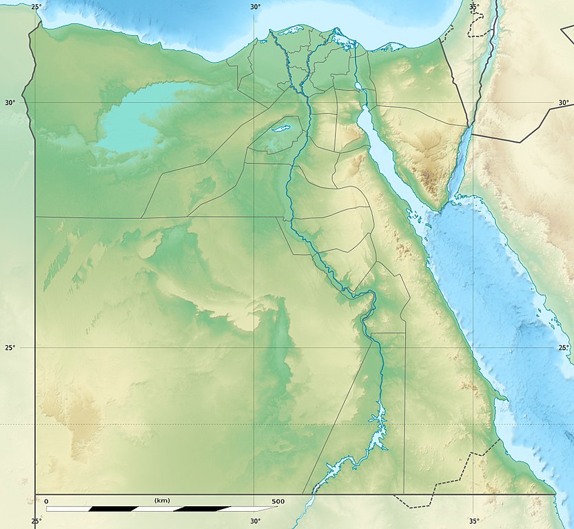
Deutsch: Relief Positionskarte von Ägypten
English: Physical location map of Egypt.
Français : Carte physique vierge destinée à la géolocalisation de l'Égypte telle que depuis le 14 avril 2011 suite à la dissolution des gouvernorats du 6 Octobre et de Helwan. Topographic scale: 1:4,932,000 (precision: 1,233 m)
Geographic limits of the map:
|
||
| Petsa | 2010-03, updated 2014-06 | ||
| Ginkuhaan |
Topographic background map: Own work
|
||
| Awtor | Eric Gaba (Sting - fr:Sting) and NordNordWest | ||
| Pagtugot (Gin-uutro paggamit inin nga file) |
|
||
| Other versions |
Derivative works of this file: Lower Egypt ancient nomes position map.jpg
|


| Camera location | | View this and other nearby images on: OpenStreetMap |
|---|

|
This map has been made or improved in the German Kartenwerkstatt (Map Lab). You can propose maps to improve as well.
|
Palilisensya:
I, the copyright holder of this work, hereby publish it under the following licenses:

|
An permiso in ginhatag ha pagkopya, pagpakalat ngan/o pagliwat hinin nga dokumento ha ilarom han mga termino han GNU Free Documentation License, Version 1.2 o mas uruurhi nga version nga ginmantala han Free Software Foundation; nga may-ada waray Invariant Sections, waray Front-Cover Texts, ngan waray Back-Cover Texts. May-ada kopya hin lisensya nga ginlalakip ha seksyon nga may-ada pamagat nga GNU Free Documentation License. |
Ini nga file in nakalisensya ha ilarom han Creative Commons Attribution-Share Alike 3.0 Unported license.
- Talwas ka:
- para han pagpasaro – para han pagkopya, pagpakalat ngan pagpadangat han buhat
- para han pagremix – pag-adapt han buhat
- Ha ilarom an masunod nga mga kondisyon:
- attribution – Kinahanglanon mo tagan hin kaangayan nga credit, paghatag hin sumpay ngadto ha lisensya, ngan igbutang an imo ginbag-ohan nga binuhat. Puydi mo ini buhaton ha bisan ano nga resonable nga pamaagi, pero diri nimo pagawson nga an naghatag hin lisensya nag-eendorso ha imo o ha imo paggamit.
- share alike – Kun imo ginsagol-hin-otro, gin-iba, o gin-hingayad han buhat, ikaw in angay gud là magpakalat han imo gin-amot ha ilarom la han [http:creativecommons.org/share-your-work/licensing-considerations/compatible-licenses pareho o naangay nga lisensya] sugad han orihinal.
Puydi ka pumili hin lisenysa nga karuyag mo.
Kaagi han paypay
Pidlita an adlaw/oras para makit-an an fayl nga naggawas hito nga oras.
| Pitsa/Oras | Thumbnail | Mga dimensyon | Gumaramit | Komento | |
|---|---|---|---|---|---|
| waray pa kasasapawi | 14:01, 18 Agosto 2017 | | 1,055 × 973 (459 nga KB) | Mélomène | According with [https://en.wikipedia.org/wiki/Hala%27ib_Triangle] |
| 19:53, 13 Hunyo 2014 |  | 1,055 × 973 (450 nga KB) | Sting | Color profile | |
| 19:43, 13 Hunyo 2014 |  | 1,055 × 973 (422 nga KB) | Sting | Updated Governorates borders shape | |
| 13:59, 18 Abril 2011 |  | 1,055 × 975 (415 nga KB) | Sting | Updated after Governorats dissolution | |
| 13:30, 19 Hulyo 2010 |  | 1,055 × 973 (451 nga KB) | Sting | Color profile | |
| 19:04, 7 Marso 2010 |  | 1,055 × 973 (450 nga KB) | Sting | == {{int:filedesc}} == {{Location|26|42|00|N|30|45|00|E|scale:10000000}} <br/> {{Information |Description= {{de|Relief Positionskarte von Ägypten}} {{en|Physical location map of Egypt.}} {{fr|Carte physique vierge de l'[[:f |
Mga Sumpay
An mga nasunod nga mga pakli nasumpay hini nga paypay:
Global file usage
An masunod nga iba nga mga wiki in nagamit hini nga file:
- Paggamit ha als.wikipedia.org
- Paggamit ha ar.wikipedia.org
- Paggamit ha arz.wikipedia.org
- Paggamit ha ast.wikipedia.org
- Mar Roxu
- Canal de Suez
- Colosos de Coptos
- Faru d'Alexandría
- Muséu Exipcianu d'El Cairu
- Pirámides d'Exiptu
- Presa d'Asuán
- El Cairu
- Columna de Pompeyo
- Templu de Ramsés II (Abu Simbel)
- Módulu:Mapa de llocalización/datos/Exiptu
- Menfis
- Valle de los Reis
- Ilesia ortodoxa d'Alexandría
- Canal de los Faraones
- Biblioteca d'Alexandría
- Universidá d'al-Azhar
- Universidá d'El Cairu
- Alexandría
- Golfu d'Áqaba
- Gran Pirámide de Guiza
- Catacumbes de Kom el Shogafa
- Ciudadela d'El Cairu
- Península del Sinaí
- Abu Simbel
- Bibliotheca Alexandrina
- Templu d'Edfu
- Módulu:Mapa de llocalización/datos/Exiptu/usu
- Estadiu Internacional d'El Cairu
- KV63
- Damieta
- Cueva de les Besties
- Elefantina
- Gran Muséu Exipciu
Kitaa durudamo nga global usage hinin nga file.