
Paypay:Goa locator map.svg

Orihinal nga paypay (SVG nga fayl, ginbabanabanahan nga 274 × 331 nga mga pixel, kadako han fayl: 93 nga KB)
| Title |
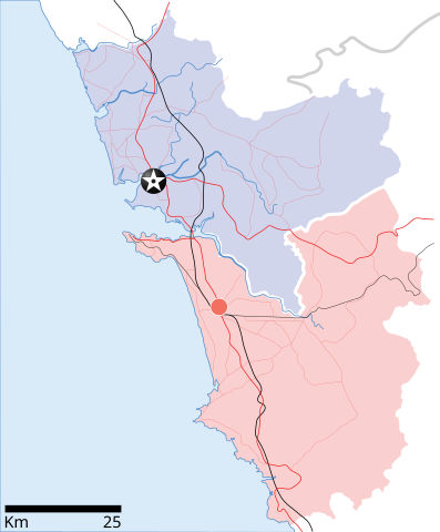
Goa locator map |
| Description |
Locator map for the state of w:Goa. Coordinates: top=15.811, bottom=14.861, left=73.567, right=74.287. |
| Petsa | |
| Ginkuhaan |
Kalugaringon nga buhat |
| Creator | |
| Pagtugot (Gin-uutro paggamit inin nga file) |
I, the copyright holder of this work, hereby publish it under the following license: Ini nga file in nakalisensya ha ilarom han Creative Commons Attribution-Share Alike 3.0 Unported license.
|
| Geotemporal data | |
| Date depicted | second half of 20 century ngan 21 century |
| Georeferencing | If inappropriate please set warp_status = skip to hide. |
| Archival data | |
| Notes | Part of WikiProject India Maps |
Kaagi han paypay
Pidlita an adlaw/oras para makit-an an fayl nga naggawas hito nga oras.
| Pitsa/Oras | Thumbnail | Mga dimensyon | Gumaramit | Komento | |
|---|---|---|---|---|---|
| waray pa kasasapawi | 10:48, 26 Abril 2007 | | 274 × 331 (93 nga KB) | Planemad | upd |
| 10:40, 26 Abril 2007 |  | 274 × 331 (80 nga KB) | Planemad | upd | |
| 18:27, 9 Abril 2007 |  | 274 × 331 (66 nga KB) | Planemad | {{WikiProject_India_Maps |Title=Goa locator map |Description=Locator map for the state of [w:Goa]] |Source= [http://www.bombayproperty.com/goamap.jpg Map of Goa], |Date=April 2007 |Author=w:user:Planemad }} Category:WikiProject India State Maps |
Mga Sumpay
An mga nasunod nga mga pakli nasumpay hini nga paypay:
Global file usage
An masunod nga iba nga mga wiki in nagamit hini nga file:
- Paggamit ha ar.wikipedia.org
- Paggamit ha ba.wikipedia.org
- Paggamit ha ceb.wikipedia.org
- Paggamit ha cy.wikipedia.org
- Paggamit ha de.wikipedia.org
- Paggamit ha en.wikipedia.org
- Farmagudi
- Zuari River
- Pilar, Goa
- Bardez
- Sonsogor
- Flora and fauna of Goa
- Sanguem
- Mollem, Goa
- Dabolim
- Template:Goa-geo-stub
- Aquem
- Bambolim
- Bandora, Goa
- Canacona
- Karapur
- Chicalim
- Chimbel
- Colvale
- Curti, Goa
- Davorlim
- Parcem
- Penha de França, Goa
- Queula
- Sancoale
- Sanquelim
- Sanvordem
- São José de Areal
- Valpoi
- Arpora
- Altinho, Goa
- Mardol, Goa
- Gokarna Math
- Baga, Goa
- Baga Creek
- Chapora Beach
- Terekhol River
- Kasarpal
- Revora
- Pale, Goa
- Agaçaim
- Priol
- Betul, Goa
- Bogmalo
- Adas Bank
- St Inez Creek
Kitaa durudamo nga global usage hinin nga file.