
Paypay:Greater Manchester UK relief location map.jpg

Kadako hin nga pahiuna nga pagawas: 800 × 557 nga mga pixel. Iba nga mga resolusyon: 320 × 223 nga mga pixel | 640 × 446 nga mga pixel | 1,024 × 714 nga mga pixel | 1,280 × 892 nga mga pixel | 1,999 × 1,393 nga mga pixel.
Orihinal nga paypay (1,999 × 1,393 nga pixel, kadako han fayl: 332 nga KB, MIME nga tipo: image/jpeg)
| Tigtulidong |
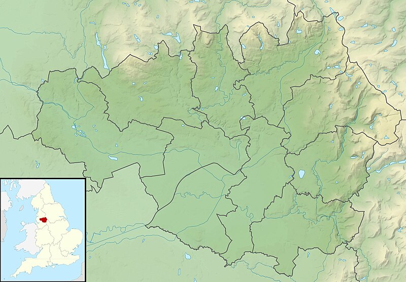
Relief map of Greater Manchester, UK. Equirectangular map projection on WGS 84 datum, with N/S stretched 165% Geographic limits:
|
| Petsa | |
| Ginkuhaan |
|
| Awtor | Nilfanion, created using Ordnance Survey data |
| Pagtugot (Gin-uutro paggamit inin nga file) |
Ini nga file in nakalisensya ha ilarom han Creative Commons Attribution-Share Alike 3.0 Unported license. Attribution: Contains Ordnance Survey data © Crown copyright and database right
|
| Other versions | File:Greater Manchester UK district map (blank).svg - Blank map |
.svg)
Kaagi han paypay
Pidlita an adlaw/oras para makit-an an fayl nga naggawas hito nga oras.
| Pitsa/Oras | Thumbnail | Mga dimensyon | Gumaramit | Komento | |
|---|---|---|---|---|---|
| waray pa kasasapawi | 01:37, 29 Nobyembre 2011 | | 1,999 × 1,393 (332 nga KB) | Nilfanion | {{Information |Description=Relief map of Greater Manchester, UK. Equirectangular map projection on WGS 84 datum, with N/S stretched 165% Geographic limits: *West: 2.80W *East: 1.90W *North: 53.70N *South: 53.32N |Source=[[w:Ordn |
Mga Sumpay
An mga nasunod nga mga pakli nasumpay hini nga paypay:
Global file usage
An masunod nga iba nga mga wiki in nagamit hini nga file:
- Paggamit ha ar.wikipedia.org
- Paggamit ha bg.wikipedia.org
- Paggamit ha bn.wikipedia.org
- Paggamit ha ceb.wikipedia.org
- Paggamit ha el.wikipedia.org
- Paggamit ha en.wikipedia.org
- Chetham's Library
- River Irk
- Werneth Low
- Dovestone Reservoir
- Strinesdale Reservoir
- Winter Hill transmitting station
- Battle of Wigan Lane
- Hollingworth Lake
- Winter Hill (North West England)
- Saddleworth Moor
- Blackstone Edge
- Chew Valley, Greater Manchester
- Chew Reservoir
- Hollingworth Reservoir
- Black Chew Head
- Hartshead Pike
- Crompton Moor
- Ogden Reservoir (Greater Manchester)
- Geography of Greater Manchester
- Oceânico Group Pro-Am Challenge
- Kersal Moor
- Manchester Bolton & Bury Reservoir
- Kitcliffe Reservoir
- Piethorne Reservoir
- Rooden Reservoir
- Norman Hill Reservoir
- Hanging Lees Reservoir
- Watergrove Reservoir
- Blackstone Edge Reservoir
- Brown Wardle Hill
- Yeoman Hey Reservoir
- Ashworth Moor Reservoir
- Brushes Clough Reservoir
Kitaa durudamo nga global usage hinin nga file.