
Paypay:Guinea location map.svg

Size of this PNG preview of this SVG file: 794 × 600 nga mga pixel. Iba nga mga resolusyon: 318 × 240 nga mga pixel | 636 × 480 nga mga pixel | 1,017 × 768 nga mga pixel | 1,280 × 967 nga mga pixel | 2,560 × 1,934 nga mga pixel | 1,455 × 1,099 nga mga pixel.
Orihinal nga paypay (SVG nga fayl, ginbabanabanahan nga 1,455 × 1,099 nga mga pixel, kadako han fayl: 430 nga KB)
Dalikyat nga pulong
| Tigtulidong |
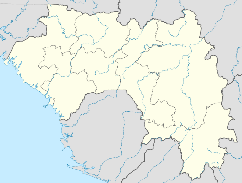
Deutsch: Positionskarte von Guinea
Quadratische Plattkarte, N-S-Streckung 102 %. Geographische Begrenzung der Karte:
English: Location map of Guinea
Equirectangular projection, N/S stretching 102 %. Geographic limits of the map:
|
| Petsa | |
| Ginkuhaan |
Kalugaringon nga buhat, using
|
| Awtor | NordNordWest |
| Pagtugot (Gin-uutro paggamit inin nga file) |
I, the copyright holder of this work, hereby publish it under the following license: Ini nga file in nakalisensya ha ilarom han Creative Commons Attribution-Share Alike 3.0 Unported license.
|
| Other versions | Derivative works of this file: Regions of Guinea.svg |

|
This map has been made or improved in the German Kartenwerkstatt (Map Lab). You can propose maps to improve as well.
|
Kaagi han paypay
Pidlita an adlaw/oras para makit-an an fayl nga naggawas hito nga oras.
| Pitsa/Oras | Thumbnail | Mga dimensyon | Gumaramit | Komento | |
|---|---|---|---|---|---|
| waray pa kasasapawi | 18:10, 14 Oktubre 2009 | | 1,455 × 1,099 (430 nga KB) | NordNordWest | =={{int:filedesc}}== {{Information |Description= {{de|Positionskarte von Guinea}} Quadratische Plattkarte, N-S-Streckung 102 %. Geographische Begrenzung der Karte: * N: 12.8° N * S: 7.1° N * W: 15.2° W * O: 7.5° W {{en|Location map of [ |
Mga Sumpay
An mga nasunod nga mga pakli nasumpay hini nga paypay:
Global file usage
An masunod nga iba nga mga wiki in nagamit hini nga file:
- Paggamit ha af.wikipedia.org
- Paggamit ha am.wikipedia.org
- Paggamit ha ar.wikipedia.org
- Paggamit ha ba.wikipedia.org
- Paggamit ha bg.wikipedia.org
- Paggamit ha bn.wikipedia.org
- Paggamit ha bs.wikipedia.org
- Paggamit ha ce.wikipedia.org
- Paggamit ha ckb.wikipedia.org
- Paggamit ha cs.wikipedia.org
- Paggamit ha de.wikipedia.org
- Paggamit ha de.wikivoyage.org
- Paggamit ha el.wikipedia.org
- Paggamit ha es.wikipedia.org
- Paggamit ha et.wikipedia.org
- Paggamit ha eu.wikipedia.org
- Paggamit ha fa.wikipedia.org
- Paggamit ha fr.wikipedia.org
- Paggamit ha gl.wikipedia.org
- Paggamit ha he.wikivoyage.org
- Paggamit ha hsb.wikipedia.org
- Paggamit ha id.wikipedia.org
- Paggamit ha it.wikivoyage.org
Kitaa durudamo nga global usage hinin nga file.