
Paypay:Hertfordshire UK location map.svg

Size of this PNG preview of this SVG file: 800 × 557 nga mga pixel. Iba nga mga resolusyon: 320 × 223 nga mga pixel | 640 × 446 nga mga pixel | 1,024 × 713 nga mga pixel | 1,280 × 891 nga mga pixel | 2,560 × 1,782 nga mga pixel | 1,425 × 992 nga mga pixel.
Orihinal nga paypay (SVG nga fayl, ginbabanabanahan nga 1,425 × 992 nga mga pixel, kadako han fayl: 1.84 nga MB)
| Tigtulidong |
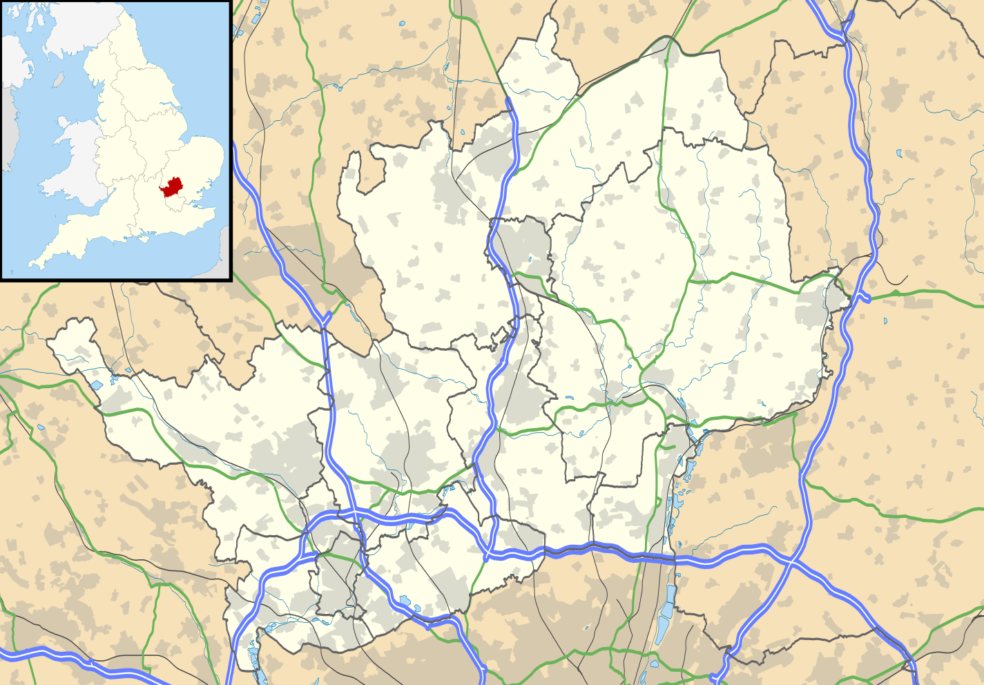
Map of Hertfordshire, UK with the following information shown:
Equirectangular map projection on WGS 84 datum, with N/S stretched 160% Geographic limits:
|
| Petsa | |
| Ginkuhaan |
|
| Awtor | Nilfanion, created using Ordnance Survey data |
| Pagtugot (Gin-uutro paggamit inin nga file) |
Ini nga file in nakalisensya ha ilarom han Creative Commons Attribution-Share Alike 3.0 Unported license. Attribution: Contains Ordnance Survey data © Crown copyright and database right
|
| Other versions | File:Hertfordshire UK district map (blank).svg - Blank map |
.svg)
Kaagi han paypay
Pidlita an adlaw/oras para makit-an an fayl nga naggawas hito nga oras.
| Pitsa/Oras | Thumbnail | Mga dimensyon | Gumaramit | Komento | |
|---|---|---|---|---|---|
| waray pa kasasapawi | 18:56, 26 Septyembre 2010 | | 1,425 × 992 (1.84 nga MB) | Nilfanion | {{Information |Description=Map of Hertfordshire, UK with the following information shown: *Administrative borders *Coastline, lakes and rivers *Roads and railways *Urban areas Equirectangular map projection on WGS 84 datum, with N/S s |
Mga Sumpay
An mga nasunod nga mga pakli nasumpay hini nga paypay:
Global file usage
An masunod nga iba nga mga wiki in nagamit hini nga file:
- Paggamit ha ar.wikipedia.org
- Paggamit ha bg.wikipedia.org
- Paggamit ha ceb.wikipedia.org
- Paggamit ha en.wikipedia.org
- Hatfield, Hertfordshire
- Hertfordshire
- St Albans
- Verulamium
- St Albans Cathedral
- Hatfield House
- Berkhamsted
- Bricket Wood
- Hemel Hempstead
- Hoddesdon
- Royston, Hertfordshire
- Hitchin
- Preston, Hertfordshire
- Apsley, Hertfordshire
- Welwyn Garden City
- Borehamwood
- Welwyn
- Watford tube station
- Harpenden
- Hertford
- Potters Bar
- Bishop's Stortford
- Tring
- Frithsden
- Rickmansworth
- Watford Junction railway station
- Nettleden
- Ringshall, Berkhamsted
- Much Hadham
- Kings Langley
- Mill Green Museum
- Baldock
- Buntingford
- Cheshunt
- Aldbury
- Ashridge
- Sawbridgeworth
- Ware, Hertfordshire
- Bovingdon
- London Colney
- Elstree Studios
- Bushey
- Redbourn
- Redbournbury Mill
- Elstree
- Warner Bros. Studios, Leavesden
- Willian, Hertfordshire
Kitaa durudamo nga global usage hinin nga file.