
Paypay:Iwate-ken géolocalisation relief.svg

Size of this PNG preview of this SVG file: 361 × 599 nga mga pixel. Iba nga mga resolusyon: 145 × 240 nga mga pixel | 289 × 480 nga mga pixel | 463 × 768 nga mga pixel | 617 × 1,024 nga mga pixel | 1,235 × 2,048 nga mga pixel | 1,720 × 2,852 nga mga pixel.
Orihinal nga paypay (SVG nga fayl, ginbabanabanahan nga 1,720 × 2,852 nga mga pixel, kadako han fayl: 3.31 nga MB)
Dalikyat nga pulong
| Camera location | | View this and other nearby images on: OpenStreetMap |
|---|
| Tigtulidong |
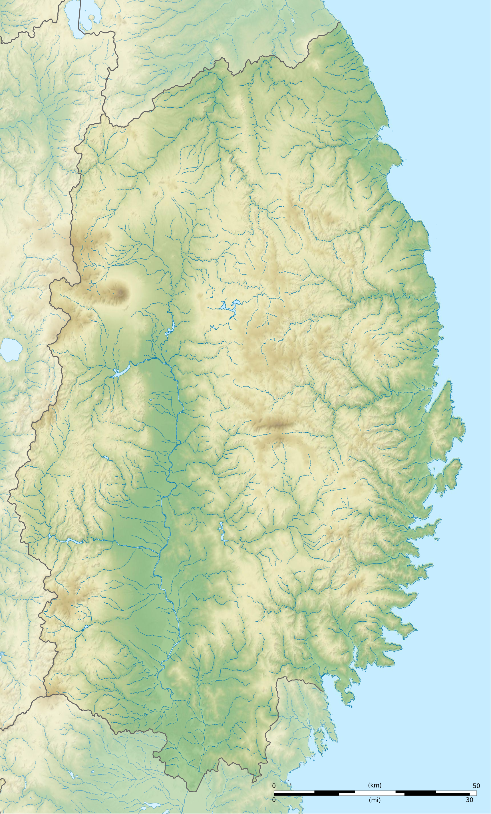
Français : Carte topographique vierge de la Préfecture d'Iwate, au Japon, destinée à la géolocalisation.
Deutsch: Topographische Karte der Präfektur Iwate.
English: Topographic blank map of the Iwate Prefecture, for geolocalisation purpose.
Español: Mapa topográfico de la Prefectura de Iwate.
Italiano: Mappa topografica della Prefettura di Iwate.
日本語: 岩手県の地図.
Português: Carta topográfica de la província de Iwate.
|
||
| Petsa | (UTC) | ||
| Ginkuhaan |
Création personnelle ;
|
||
| Awtor | © Bourrichon (talk) - fr:Bourrichon | ||
| Pagtugot (Gin-uutro paggamit inin nga file) |
|
||
| Other versions | File:Iwate-ken géolocalisation.svg |

|
This SVG file contains embedded text that can be translated into your language, using any capable SVG editor, text editor or the SVG Translate tool. For more information see: About translating SVG files. |
This W3C-unspecified vector image was created with Inkscape .
Palilisensya:
I, the copyright holder of this work, hereby publish it under the following license:
This file is licensed under the Creative Commons Attribution-Share Alike 2.0 France license.
Attribution: Bourrichon (atelier graphique)
- Talwas ka:
- para han pagpasaro – para han pagkopya, pagpakalat ngan pagpadangat han buhat
- para han pagremix – pag-adapt han buhat
- Ha ilarom an masunod nga mga kondisyon:
- attribution – Kinahanglanon mo tagan hin kaangayan nga credit, paghatag hin sumpay ngadto ha lisensya, ngan igbutang an imo ginbag-ohan nga binuhat. Puydi mo ini buhaton ha bisan ano nga resonable nga pamaagi, pero diri nimo pagawson nga an naghatag hin lisensya nag-eendorso ha imo o ha imo paggamit.
- share alike – Kun imo ginsagol-hin-otro, gin-iba, o gin-hingayad han buhat, ikaw in angay gud là magpakalat han imo gin-amot ha ilarom la han [http:creativecommons.org/share-your-work/licensing-considerations/compatible-licenses pareho o naangay nga lisensya] sugad han orihinal.

Kaagi han paypay
Pidlita an adlaw/oras para makit-an an fayl nga naggawas hito nga oras.
| Pitsa/Oras | Thumbnail | Mga dimensyon | Gumaramit | Komento | |
|---|---|---|---|---|---|
| waray pa kasasapawi | 21:32, 3 Hulyo 2013 | | 1,720 × 2,852 (3.31 nga MB) | Bourrichon | |
| 21:27, 3 Hulyo 2013 |  | 1,720 × 2,852 (2.96 nga MB) | Bourrichon | == {{int:filedesc}} == {{Location|39|00|00|N|141|00|00|E|scale:10000}} {{Information |Description= {{fr|Carte topographique vierge de la fr:Préfecture d'Iwate, au Japon, destinée à la géolocalisation.}} {{de|Topographische Kart... |
Mga Sumpay
An mga nasunod nga mga pakli nasumpay hini nga paypay:
Global file usage
An masunod nga iba nga mga wiki in nagamit hini nga file:
- Paggamit ha ar.wikipedia.org
- Paggamit ha ceb.wikipedia.org
- Paggamit ha ce.wikipedia.org
- Paggamit ha de.wikipedia.org
- Paggamit ha en.wikipedia.org
- Iwate Morioka Stadium
- Battle of Miyako Bay
- Battle of Kawasaki
- Morioka Castle
- Mōtsū-ji
- Kanjizaiō-in
- Chūson-ji
- Nakatsu River
- Mount Hayachine
- Sarugaishi River
- Waga River
- Ishibuchi Dam
- Mount Iwate
- Goishi Coast
- Scenic areas of Ihatov
- Genbikei
- Jōdogahama
- Geibikei
- Hayachine Quasi-National Park
- Ryūsendō
- Module:Location map/data/Japan Iwate Prefecture/doc
- Yuda Onsenkyō Prefectural Natural Park
- Fudō Falls
- Akkadō
- Goshono site
- Kunohe Castle
- Shiwa Castle
- Tokutan Castle
- Cape Todo
- Sakiyama Shell Mound
- Ayaorishinden Site
- Kabayama Site
- Hatten Site
- Ezuriko Kofun Cluster
- Hashino iron mining and smelting site
- Nanbu-Date border mounds
- Nakazawahama Shell Mound
Kitaa durudamo nga global usage hinin nga file.