
Paypay:Location map Guernsey.png

Kadako hin nga pahiuna nga pagawas: 800 × 582 nga mga pixel. Iba nga mga resolusyon: 320 × 233 nga mga pixel | 640 × 466 nga mga pixel | 1,024 × 745 nga mga pixel | 1,175 × 855 nga mga pixel.
Orihinal nga paypay (1,175 × 855 nga pixel, kadako han fayl: 465 nga KB, MIME nga tipo: image/png)
| Tigtulidong |
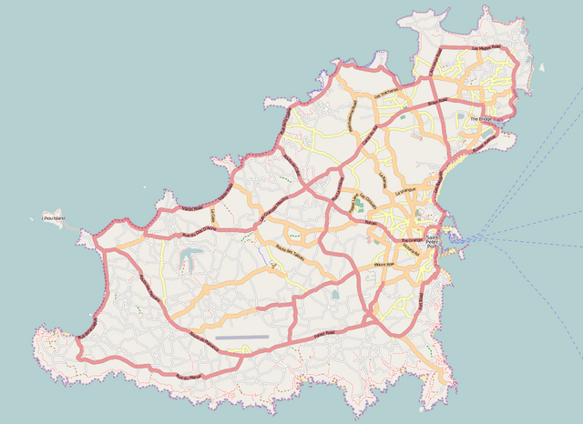
English: Map of Guernsey
Geographic limits of the map:
This file is licensed under the Creative Commons Attribution-Share Alike 2.0 Generic license.
|
| Ginkuhaan | Maps for Free/OpenStreetMap |
| Awtor | Dr. Blofeld |
Kaagi han paypay
Pidlita an adlaw/oras para makit-an an fayl nga naggawas hito nga oras.
| Pitsa/Oras | Thumbnail | Mga dimensyon | Gumaramit | Komento | |
|---|---|---|---|---|---|
| waray pa kasasapawi | 16:18, 3 Septyembre 2011 | | 1,175 × 855 (465 nga KB) | Blofeld Dr. | {{Information |Description ={{en|1=l}} |Source =l |Author =l |Date =l |Permission = |other_versions = }} |
Mga Sumpay
An mga nasunod nga mga pakli nasumpay hini nga paypay:
Global file usage
An masunod nga iba nga mga wiki in nagamit hini nga file:
- Paggamit ha ar.wikipedia.org
- Paggamit ha bg.wikipedia.org
- Paggamit ha ceb.wikipedia.org
- Plantilya:Location map United Kingdom Guernsey
- North Beach
- South Beach
- Black Rock
- Spur Point
- Conchée
- Guernsey
- Baleine
- Les Dents
- Forest
- Saint-Martin (pagklaro)
- La Forêt
- Red Rock
- Gull Rock
- Cobo Bay
- Saint Pierre
- St. Martin
- Point Robert
- Oyster Rock
- Mount Hubert
- Mount Hale
- Les Jumelles
- Cambridge Park
- Channel Islands
- Lion Rock
- Pot Bay
- Ladies Bay
- Telegraph Bay
- Cats Bay
- Castel
- Vale
- Hogsback
- Le Gouffre
- Le Gros Rocher
- Lihou Island
- Saint Martin (pagklaro)
- La Platte
- Goulet
- La Vieille
- Corbet
- St. Sampson
- St. Andrew
- Saint-Sauveur (pagklaro)
- Le Perron (pagklaro)
- La Tour (pagklaro)
- Rousset (pagklaro)
- La Corbière (pagklaro)
Kitaa durudamo nga global usage hinin nga file.