
Paypay:Map of USA with state names 2.svg

Size of this PNG preview of this SVG file: 800 × 494 nga mga pixel. Iba nga mga resolusyon: 320 × 198 nga mga pixel | 640 × 395 nga mga pixel | 1,024 × 633 nga mga pixel | 1,280 × 791 nga mga pixel | 2,560 × 1,582 nga mga pixel | 955 × 590 nga mga pixel.
Orihinal nga paypay (SVG nga fayl, ginbabanabanahan nga 955 × 590 nga mga pixel, kadako han fayl: 714 nga KB)
Dalikyat nga pulong
| Tigtulidong |
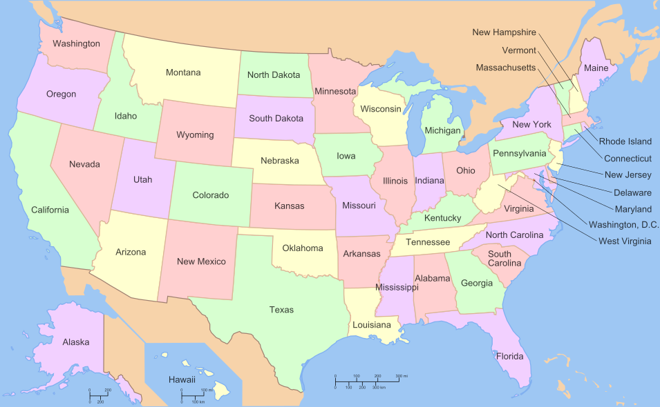
English: A compass of the United States, with state names. |
| Ginkuhaan | File:Map_of_USA_with_state_names.svg? |
| Awtor |
The original was edited by User:Andrew c to include Nova Scotia, PEI, Bahamas, and scale key. It was originally uploaded to the English Wikipedia with the same title by w:User:Wapcaplet:
|
| SVG genesis |
Versions
Modifiable text (original)

Clickable
Error: Invalid coordinate at line 4, must be a number.
Palilisensya:

|
An permiso in ginhatag ha pagkopya, pagpakalat ngan/o pagliwat hinin nga dokumento ha ilarom han mga termino han GNU Free Documentation License, Version 1.2 o mas uruurhi nga version nga ginmantala han Free Software Foundation; nga may-ada waray Invariant Sections, waray Front-Cover Texts, ngan waray Back-Cover Texts. May-ada kopya hin lisensya nga ginlalakip ha seksyon nga may-ada pamagat nga GNU Free Documentation License. |
| Ini nga file in nakalisensya ha ilarom han Creative Commons Attribution-Share Alike 3.0 Unported license. | ||
| ||
| This licensing tag was added to this file as part of the GFDL licensing update. |
This file is licensed under the Creative Commons Attribution-Share Alike 3.0 Unported, 2.5 Generic, 2.0 Generic and 1.0 Generic license.
- Talwas ka:
- para han pagpasaro – para han pagkopya, pagpakalat ngan pagpadangat han buhat
- para han pagremix – pag-adapt han buhat
- Ha ilarom an masunod nga mga kondisyon:
- attribution – Kinahanglanon mo tagan hin kaangayan nga credit, paghatag hin sumpay ngadto ha lisensya, ngan igbutang an imo ginbag-ohan nga binuhat. Puydi mo ini buhaton ha bisan ano nga resonable nga pamaagi, pero diri nimo pagawson nga an naghatag hin lisensya nag-eendorso ha imo o ha imo paggamit.
- share alike – Kun imo ginsagol-hin-otro, gin-iba, o gin-hingayad han buhat, ikaw in angay gud là magpakalat han imo gin-amot ha ilarom la han [http:creativecommons.org/share-your-work/licensing-considerations/compatible-licenses pareho o naangay nga lisensya] sugad han orihinal.
Derivative works of this file:
- Map of USA with HPV uptake.svg
- Map of USA with state names mr.svg
- North american airline hubs map.jpg
- Map of USA with state and territory names 2.png
Kaagi han paypay
Pidlita an adlaw/oras para makit-an an fayl nga naggawas hito nga oras.
| Pitsa/Oras | Thumbnail | Mga dimensyon | Gumaramit | Komento | |
|---|---|---|---|---|---|
| waray pa kasasapawi | 04:39, 27 Hunyo 2010 | | 955 × 590 (714 nga KB) | ZooFari | Removed border, Washington, D.C. |
| 18:41, 1 Enero 2010 |  | 959 × 593 (793 nga KB) | ZooFari | {{validSVG}} ==Clickable version== <imagemap> Image:Map of USA with state names.svg|400px|left poly 643 371 666 452 621 458 621 473 606 468 604 374 Alabama poly 152 457 153 540 177 548 205 576 205 589 183 588 158 553 117 547 100 567 12 578 66 547 41 |
Mga Sumpay
An mga nasunod nga mga pakli nasumpay hini nga paypay:
Global file usage
An masunod nga iba nga mga wiki in nagamit hini nga file:
- Paggamit ha azb.wikipedia.org
- Paggamit ha az.wikipedia.org
- Paggamit ha blk.wikipedia.org
- Paggamit ha br.wikipedia.org
- Paggamit ha dag.wikipedia.org
- Paggamit ha el.wikipedia.org
- Paggamit ha en.wikipedia.org
- Wikipedia:WikiProject U.S. counties
- Wikipedia:WikiProject United States/Collaboration
- Wikipedia talk:WikiProject United States/Collaboration
- United States National Register of Historic Places listings
- Wikipedia:WikiProject Deletion sorting/United States of America
- United States
- User:Dogears
- Wikipedia:WikiProject United States
- Wikipedia talk:WikiProject United States
- Wikipedia:WikiProject United States/State-level WikiProjects
- Template:WikiProject United States
- Category:WikiProject United States
- Wikipedia:WikiProject United States/Assessment
- Wikipedia talk:WikiProject United States/Assessment
- Template:National Register Of Historic Places Map
- Template talk:WikiProject United States
- Politics of country subdivisions
- Wikipedia talk:WikiProject Comics/United States comics work group
- Template:USA image map
- User:Emesee/Templates
- User:Emesee/Counties
- User:Leobold1/Research Articles/United States
- User:Leobold1/Research Articles/United States/US States
- U.S. state
- Template:WikiProject United States/doc
- Wikipedia:WikiProject Film/American cinema task force
- User:Maile66
- Wikipedia:WikiProject United States/Members
- Wikipedia:WikiProject United States/To do
- Wikipedia:WikiProject United States/WikiProject embassy
- Wikipedia:WikiProject United States/Help
- Template:WikiProject United States/sandbox
- Wikipedia:WikiProject United States/Navigation
- Wikipedia:WikiProject United States/Assessment/Requests
- User:Rocketmaniac/Sandbox16
- Wikipedia:WikiProject United States/Newsletter
- User:Tommyboy1215
- Talk:List of states and territories of the United States
Kitaa durudamo nga global usage hinin nga file.