
Paypay:Mexico Quintana Roo location map.svg

Size of this PNG preview of this SVG file: 409 × 600 nga mga pixel. Iba nga mga resolusyon: 163 × 240 nga mga pixel | 327 × 480 nga mga pixel | 523 × 768 nga mga pixel | 698 × 1,024 nga mga pixel | 1,396 × 2,048 nga mga pixel | 960 × 1,408 nga mga pixel.
Orihinal nga paypay (SVG nga fayl, ginbabanabanahan nga 960 × 1,408 nga mga pixel, kadako han fayl: 832 nga KB)
Dalikyat nga pulong
W3C-validity not checked.
| Tigtulidong |
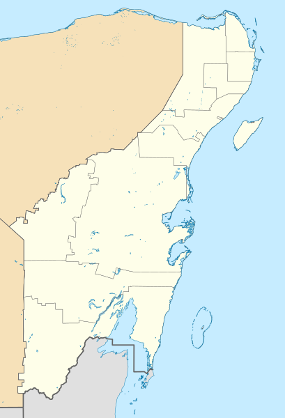
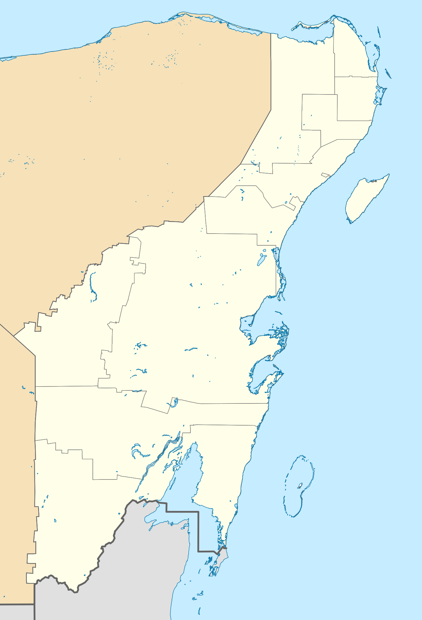
Location Map of Quintana Roo. EPSG:3857 projection, Geographic limits of the map:
|
| Petsa | |
| Ginkuhaan |
|
| Awtor | Addicted04 (talk) |
Palilisensya:
I, the copyright holder of this work, hereby publish it under the following license:
Ini nga file in nakalisensya ha ilarom han Creative Commons Attribution-Share Alike 3.0 Unported license.
- Talwas ka:
- para han pagpasaro – para han pagkopya, pagpakalat ngan pagpadangat han buhat
- para han pagremix – pag-adapt han buhat
- Ha ilarom an masunod nga mga kondisyon:
- attribution – Kinahanglanon mo tagan hin kaangayan nga credit, paghatag hin sumpay ngadto ha lisensya, ngan igbutang an imo ginbag-ohan nga binuhat. Puydi mo ini buhaton ha bisan ano nga resonable nga pamaagi, pero diri nimo pagawson nga an naghatag hin lisensya nag-eendorso ha imo o ha imo paggamit.
- share alike – Kun imo ginsagol-hin-otro, gin-iba, o gin-hingayad han buhat, ikaw in angay gud là magpakalat han imo gin-amot ha ilarom la han [http:creativecommons.org/share-your-work/licensing-considerations/compatible-licenses pareho o naangay nga lisensya] sugad han orihinal.
Kaagi han paypay
Pidlita an adlaw/oras para makit-an an fayl nga naggawas hito nga oras.
| Pitsa/Oras | Thumbnail | Mga dimensyon | Gumaramit | Komento | |
|---|---|---|---|---|---|
| waray pa kasasapawi | 15:48, 22 Hulyo 2021 | | 960 × 1,408 (832 nga KB) | Alnatuo | Corrected border positions |
| 14:46, 22 Hulyo 2021 |  | 960 × 1,408 (832 nga KB) | Alnatuo | Reverted to version as of 14:35, 22 July 2021 (UTC) | |
| 14:44, 22 Hulyo 2021 |  | 960 × 1,408 (850 nga KB) | Alnatuo | Reverted to version as of 22:38, 26 April 2015 (UTC) | |
| 14:35, 22 Hulyo 2021 |  | 960 × 1,408 (832 nga KB) | Alnatuo | Added Municipality of Puerto Morelos | |
| 22:38, 26 Abril 2015 |  | 960 × 1,408 (850 nga KB) | Addicted04 | Fix | |
| 16:42, 25 Abril 2015 |  | 960 × 1,408 (850 nga KB) | Addicted04 | New map (INEGI 2014) | |
| 22:37, 17 Marso 2012 |  | 1,056 × 1,408 (341 nga KB) | Battroid | == Summary == {{ValidSVG}} {{Information |Description=Location Map of Quintana Roo Equirectangular projection, E/W stretching 110 %. Geographic limits of the map: * N: 21.70° N * S: 17.70° N * W: 89.40° W * E: 86.50° W |Source=... | |
| 19:03, 20 Nobyembre 2011 |  | 1,056 × 1,408 (326 nga KB) | Addicted04 | borders | |
| 00:05, 8 Agosto 2011 |  | 1,056 × 1,408 (326 nga KB) | Addicted04 | +Bacalar | |
| 23:33, 7 Agosto 2011 |  | 1,056 × 1,408 (325 nga KB) | Addicted04 | +Banco Chinchorro |
Mga Sumpay
An mga nasunod nga mga pakli nasumpay hini nga paypay:
Global file usage
An masunod nga iba nga mga wiki in nagamit hini nga file:
- Paggamit ha ar.wikipedia.org
- Paggamit ha ba.wikipedia.org
- Paggamit ha bg.wikipedia.org
- Paggamit ha ceb.wikipedia.org
- Paggamit ha ce.wikipedia.org
- Paggamit ha de.wikipedia.org
- Cancún
- Cozumel
- X-Cacal Guardia
- Felipe Carrillo Puerto (Quintana Roo)
- Chetumal
- Playa del Carmen
- Sistema Sac Actun
- Flughafen Cancún
- Wikipedia:Kartenwerkstatt/Positionskarten/Nordamerika
- Estadio Beto Ávila
- Punta Allen
- Estadio Olímpico Andrés Quintana Roo
- Benutzer:Alfie66/Spielwiese
- Sistema Ox Bel Ha
- Cobá (Ort)
- Punta Nizuc
- Sistema Dos Ojos
- Puerto Morelos
- Holbox
- Vorlage:Positionskarte Mexiko Quintana Roo
- Bacalar
- Laguna Boca Paila
- Akumal
- Benutzer:Wasquewhat/Xpu-Há
- Choo-Ha
- San Miguel de Cozumel
- Flughafen Tulum
- Paggamit ha en.wikipedia.org
Kitaa durudamo nga global usage hinin nga file.