
Paypay:Northern Ireland location map.svg

Size of this PNG preview of this SVG file: 705 × 599 nga mga pixel. Iba nga mga resolusyon: 282 × 240 nga mga pixel | 565 × 480 nga mga pixel | 903 × 768 nga mga pixel | 1,205 × 1,024 nga mga pixel | 2,409 × 2,048 nga mga pixel | 1,208 × 1,027 nga mga pixel.
Orihinal nga paypay (SVG nga fayl, ginbabanabanahan nga 1,208 × 1,027 nga mga pixel, kadako han fayl: 162 nga KB)
Dalikyat nga pulong
| Tigtulidong |
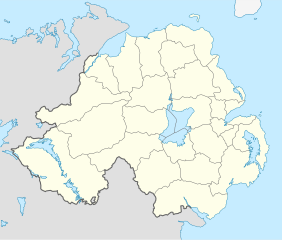
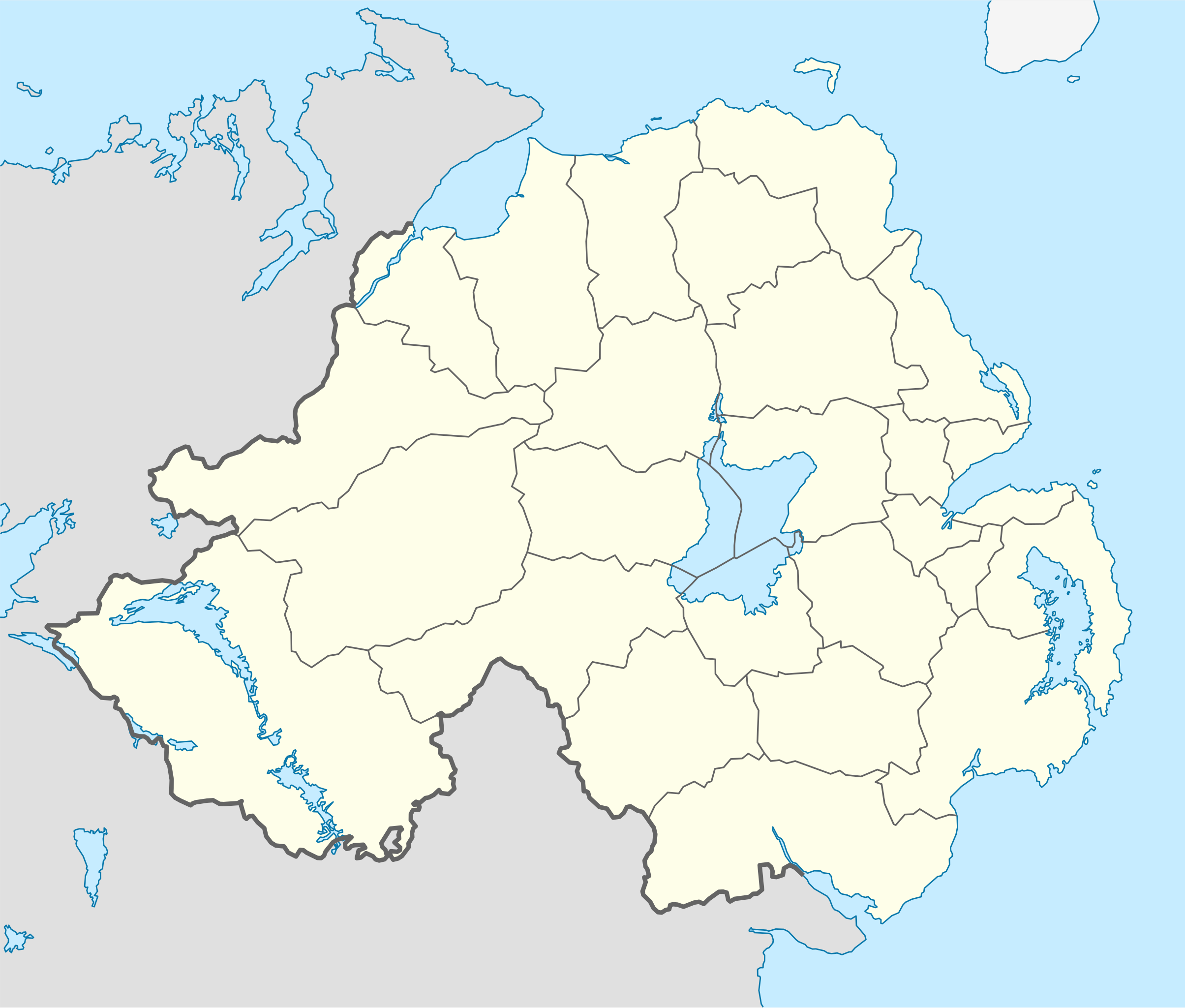
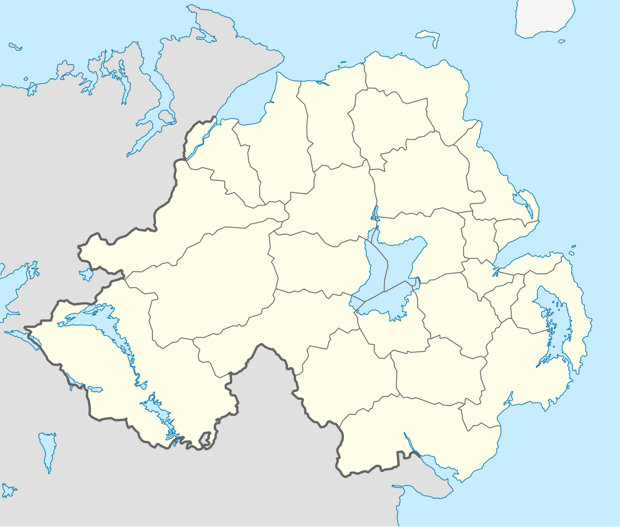
Deutsch: Positionskarte von Nordirland
Quadratische Plattkarte, N-S-Streckung 170 %. Geographische Begrenzung der Karte:
English: Location map of Northern Ireland
Equirectangular projection, N/S stretching 170 %. Geographic limits of the map:
|
| Petsa | |
| Ginkuhaan | Kalugaringon nga buhat, using United States National Imagery and Mapping Agency data |
| Awtor | NordNordWest |
| Other versions |
Derivative works of this file: |

|
This map has been made or improved in the German Kartenwerkstatt (Map Lab). You can propose maps to improve as well.
|
Palilisensya:
I, the copyright holder of this work, hereby publish it under the following license:
Ini nga file in nakalisensya ha ilarom han Creative Commons Attribution-Share Alike 3.0 Unported license.
- Talwas ka:
- para han pagpasaro – para han pagkopya, pagpakalat ngan pagpadangat han buhat
- para han pagremix – pag-adapt han buhat
- Ha ilarom an masunod nga mga kondisyon:
- attribution – Kinahanglanon mo tagan hin kaangayan nga credit, paghatag hin sumpay ngadto ha lisensya, ngan igbutang an imo ginbag-ohan nga binuhat. Puydi mo ini buhaton ha bisan ano nga resonable nga pamaagi, pero diri nimo pagawson nga an naghatag hin lisensya nag-eendorso ha imo o ha imo paggamit.
- share alike – Kun imo ginsagol-hin-otro, gin-iba, o gin-hingayad han buhat, ikaw in angay gud là magpakalat han imo gin-amot ha ilarom la han [http:creativecommons.org/share-your-work/licensing-considerations/compatible-licenses pareho o naangay nga lisensya] sugad han orihinal.
Kaagi han paypay
Pidlita an adlaw/oras para makit-an an fayl nga naggawas hito nga oras.
| Pitsa/Oras | Thumbnail | Mga dimensyon | Gumaramit | Komento | |
|---|---|---|---|---|---|
| waray pa kasasapawi | 18:02, 22 Septyembre 2009 | | 1,208 × 1,027 (162 nga KB) | NordNordWest | |
| 20:14, 4 Hulyo 2009 |  | 1,208 × 1,027 (164 nga KB) | NordNordWest | ||
| 20:10, 4 Hulyo 2009 |  | 1,208 × 1,027 (163 nga KB) | NordNordWest | {{Information |Description= {{de|Positionskarte von Nordirland}} Quadratische Plattkarte, N-S-Streckung 170 %. Geographische Begrenzung der Karte: * N: 55.4° N * S: 53.9° N * W: 8.3° W * O: 5.3° W {{en|Location map of [[:en:Northern |
Mga Sumpay
An mga nasunod nga mga pakli nasumpay hini nga paypay:
Global file usage
An masunod nga iba nga mga wiki in nagamit hini nga file:
- Paggamit ha af.wikipedia.org
- Paggamit ha ar.wikipedia.org
- Paggamit ha az.wikipedia.org
- Paggamit ha ba.wikipedia.org
- Paggamit ha bg.wikipedia.org
- Paggamit ha bn.wikipedia.org
- Paggamit ha bs.wikipedia.org
- Paggamit ha ceb.wikipedia.org
- Paggamit ha cs.wikipedia.org
- Paggamit ha cv.wikipedia.org
- Paggamit ha da.wikipedia.org
- Paggamit ha de.wikipedia.org
- Paggamit ha de.wikivoyage.org
- Paggamit ha dsb.wikipedia.org
- Paggamit ha en.wikipedia.org
- Paggamit ha es.wikipedia.org
- Paggamit ha et.wikipedia.org
- Paggamit ha eu.wikipedia.org
- Paggamit ha fa.wikipedia.org
Kitaa durudamo nga global usage hinin nga file.