
Paypay:Oceans around British Isles satellite image location map.jpg
Kadako hin nga pahiuna nga pagawas: 496 × 599 nga mga pixel. Iba nga mga resolusyon: 199 × 240 nga mga pixel | 397 × 480 nga mga pixel | 636 × 768 nga mga pixel | 848 × 1,024 nga mga pixel | 1,654 × 1,998 nga mga pixel.
Orihinal nga paypay (1,654 × 1,998 nga pixel, kadako han fayl: 242 nga KB, MIME nga tipo: image/jpeg)
| Tigtulidong |
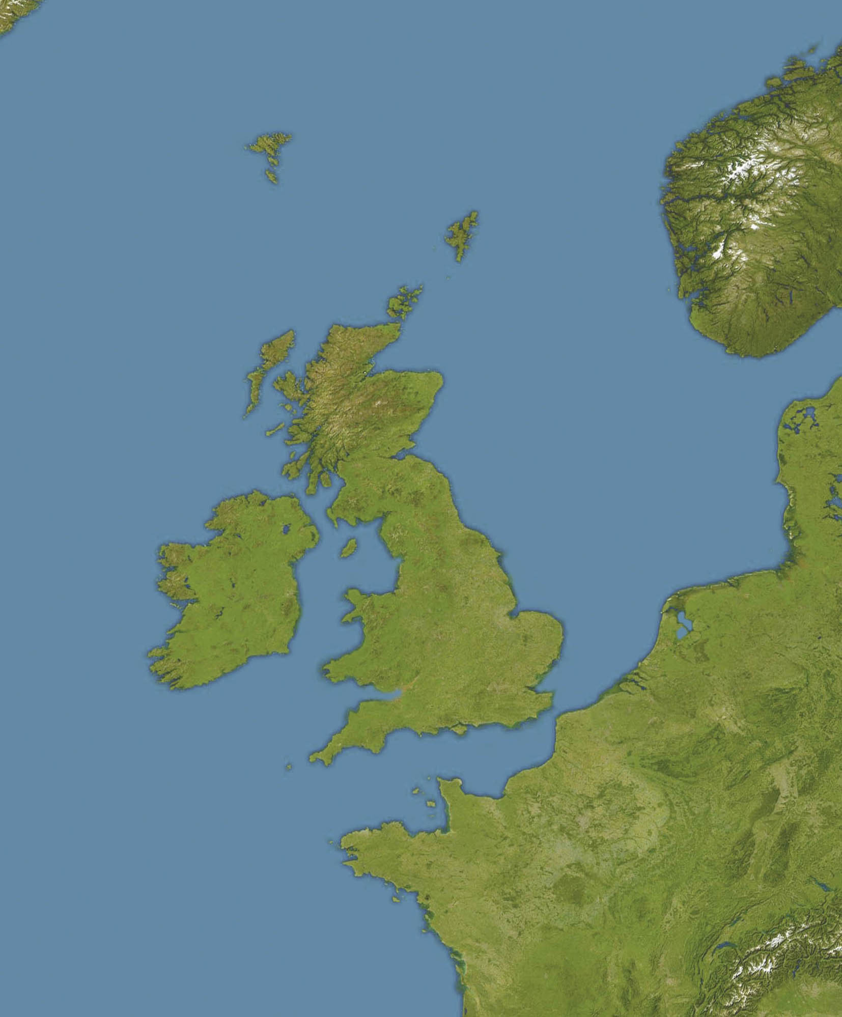
English: Location map of oceans around the United Kingdom and Ireland
Equirectangular projection, N/S stretching 150 %. Geographic limits of the map:
|
| Petsa |
19 December 2008 |
| Ginkuhaan |
Transferred from en.wikipedia |
| Awtor | Original uploader was Bellhalla at en.wikipedia |
| Pagtugot (Gin-uutro paggamit inin nga file) |
PD-AUTHOR. |
| Other versions |

Palilisensya:
| This work has been released into the public domain by its author, Bellhalla at English Wikipedia. This applies worldwide. In some countries this may not be legally possible; if so: Bellhalla grants anyone the right to use this work for any purpose, without any conditions, unless such conditions are required by law. |
Original upload log
The original description page was here. All following user names refer to en.wikipedia.
- 2008-12-19 17:59 Bellhalla 1654×1998× (247419 bytes) {{Information |Description={{en|Location map of oceans around the [[United Kingdom]] and [[Ireland]] Equirectangular projection, N/S stretching 150 %. Geographic limits of the map: * N: 65° N * S: 45° N * W: 15° W * E: 10° E }} |Source=own work, cropp
Kaagi han paypay
Pidlita an adlaw/oras para makit-an an fayl nga naggawas hito nga oras.
| Pitsa/Oras | Thumbnail | Mga dimensyon | Gumaramit | Komento | |
|---|---|---|---|---|---|
| waray pa kasasapawi | 12:59, 5 Hunyo 2009 | | 1,654 × 1,998 (242 nga KB) | Obersachse | {{Information |Description={{en|''no original description''}} |Source=Transferred from [http://en.wikipedia.org en.wikipedia]<br/> (Original text : ''own work, cropped version of en::File:Europe satellite image location map.jpg, which is a cropped a |
Mga Sumpay
An mga nasunod nga mga pakli nasumpay hini nga paypay:
Global file usage
An masunod nga iba nga mga wiki in nagamit hini nga file:
- Paggamit ha ar.wikipedia.org
- Paggamit ha ceb.wikipedia.org
- Paggamit ha de.wikipedia.org
- Paggamit ha en.wikipedia.org
- RMS Alcantara (1913)
- Second Battle of Cape Finisterre
- SS Athenia (1922)
- SS Arandora Star
- Anton Dohrn Seamount
- SS Assyrian (1914)
- SS Empire Simba
- SS Empire Adventure
- Module:Location map/data/British Isles Oceans/doc
- Hasselwood Rock
- SS Crown Arun
- SS Gairsoppa
- Action of 29 February 1916
- SS Clan Matheson (1919)
- Helen's Reef
- SS Western Maid
- MV Scantic
- SS Leander (1925)
- SS Iserlohn (1909)
- SS Stakesby (1930)
- SS Lambridge
- SS Norjerv
- SS Pengreep
- SS Wairuna
- SS Almeda Star
- SS Creekirk
- Rescue of Roger Mallinson and Roger Chapman
- SS Oropesa (1919)
- SS Mohamed Ali El-Kebir
- Heinz Schnabel and Harry Wappler escape attempt
- Module:Location map/data/British Isles Oceans
- Hebrides Terrace Seamount
- Paggamit ha eo.wikipedia.org
- Paggamit ha fa.wikipedia.org
- Paggamit ha ja.wikipedia.org
- Paggamit ha kn.wikipedia.org
- Paggamit ha pt.wikipedia.org
- Paggamit ha si.wikipedia.org
- Paggamit ha uk.wikipedia.org
Kitaa durudamo nga global usage hinin nga file.