
Paypay:OpenStreetMap Cape Town small.svg

Orihinal nga paypay (SVG nga fayl, ginbabanabanahan nga 496 × 399 nga mga pixel, kadako han fayl: 10.71 nga MB)
| Description |
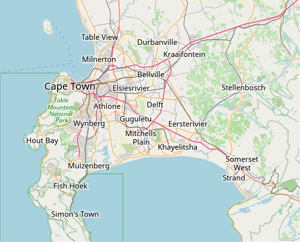
This map of Cape Town was created from OpenStreetMap project data, collected by the community. This map may be incomplete, and may contain errors. Don't rely solely on it for navigation. |
|||||||||
| Petsa | (see file history) | |||||||||
| Ginkuhaan | openstreetmap.org | |||||||||
| Creator |
OpenStreetMap contributors |
|||||||||
| Pagtugot (Gin-uutro paggamit inin nga file) |
OpenStreetMap data is available under the Open Database License (details). Map tiles are licensed under the Creative Commons Attribution-ShareAlike 2.0 license (CC-BY-SA 2.0).
This file is licensed under the Creative Commons Attribution-Share Alike 2.0 Generic license.
|
|||||||||
| Geotemporal data | ||||||||||
| Bounding box |
|
|||||||||
| Georeferencing | If inappropriate please set warp_status = skip to hide. | |||||||||
derivative works
Derivative works of this file: OpenStreetMap Kaapstad klein Afrikaans.svg
Kaagi han paypay
Pidlita an adlaw/oras para makit-an an fayl nga naggawas hito nga oras.
| Pitsa/Oras | Thumbnail | Mga dimensyon | Gumaramit | Komento | |
|---|---|---|---|---|---|
| waray pa kasasapawi | 09:11, 16 Enero 2022 | | 496 × 399 (10.71 nga MB) | Htonl | customize labels |
| 08:27, 16 Enero 2022 |  | 496 × 399 (12.15 nga MB) | Htonl | update | |
| 07:12, 12 Enero 2011 |  | 424 × 351 (1.71 nga MB) | Htonl | *tiny* tweak | |
| 07:07, 12 Enero 2011 |  | 424 × 351 (1.72 nga MB) | Htonl | bounds | |
| 16:36, 3 Pebrero 2010 |  | 496 × 399 (2.36 nga MB) | Htonl | {{OpenStreetMap|location=Cape Town}} Category:OpenStreetMap maps of South Africa |
Mga Sumpay
An mga nasunod nga mga pakli nasumpay hini nga paypay:
Global file usage
An masunod nga iba nga mga wiki in nagamit hini nga file:
- Paggamit ha af.wikipedia.org
- Constantia
- Steenberg
- Athlone
- Bo-Kaap
- Table View
- Goodwood
- Pinelands
- Strand, Wes-Kaap
- Nuweland
- Wynberg
- Rondebosch
- Rosebank, Kaapstad
- Claremont, Kaapstad
- Mowbray
- Zwaanswyk
- Kaapstad Internasionale Lughawe
- Maitland
- Seepunt
- Drieankerbaai
- Brackenfell
- Observatory
- Soutrivier
- Woodstock
- Plumstead
- Llandudno
- Bergvliet
- Bishopscourt
- Heathfield
- Monte Vista
- Lansdowne
- Milnerton
- Kalkbaai
- Noordhoek
- Oranjezicht
- Tamboerskloof
- Hoërskool Durbanville
- Belhar
- Kampsbaai
- Higgovale
- Vredehoek
- Clifton
- Schotsche Kloof
- Zonnebloem
- Mouillepunt
- Elsiesrivier
- Bantrybaai
- Blue Downs
- Crawford
- Ottery
- Mfuleni
Kitaa durudamo nga global usage hinin nga file.