
Paypay:Outline Map of Zabaikalsky Krai.svg

Size of this PNG preview of this SVG file: 549 × 599 nga mga pixel. Iba nga mga resolusyon: 220 × 240 nga mga pixel | 440 × 480 nga mga pixel | 703 × 768 nga mga pixel | 938 × 1,024 nga mga pixel | 1,876 × 2,048 nga mga pixel | 600 × 655 nga mga pixel.
Orihinal nga paypay (SVG nga fayl, ginbabanabanahan nga 600 × 655 nga mga pixel, kadako han fayl: 472 nga KB)
Dalikyat nga pulong
| Tigtulidong |
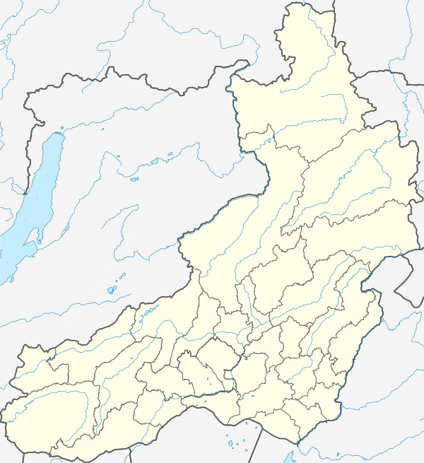
Русский: Административная карта Забайкальского края (Россия).
|
| Petsa | |
| Ginkuhaan |
This W3C-unspecified vector image was created with Inkscape . |
| Awtor | Nzeemin |
| Other versions |
|

Palilisensya:
| Description |
This map was created from OpenStreetMap project data, collected by the community. This map may be incomplete, and may contain errors. Don't rely solely on it for navigation. |
| Petsa | (see file history) |
| Ginkuhaan | openstreetmap.org |
| Creator |
OpenStreetMap contributors |
| Pagtugot (Gin-uutro paggamit inin nga file) |
OpenStreetMap data and maps are licensed under the Creative Commons Attribution-ShareAlike 2.0 license (CC-BY-SA 2.0). This file is licensed under the Creative Commons Attribution-Share Alike 2.0 Generic license.
|
| Georeferencing | If inappropriate please set warp_status = skip to hide. |
Kaagi han paypay
Pidlita an adlaw/oras para makit-an an fayl nga naggawas hito nga oras.
| Pitsa/Oras | Thumbnail | Mga dimensyon | Gumaramit | Komento | |
|---|---|---|---|---|---|
| waray pa kasasapawi | 09:41, 18 Pebrero 2012 | | 600 × 655 (472 nga KB) | Nzeemin |
Mga Sumpay
An mga nasunod nga mga pakli nasumpay hini nga paypay:
Global file usage
An masunod nga iba nga mga wiki in nagamit hini nga file:
- Paggamit ha af.wikipedia.org
- Paggamit ha ar.wikipedia.org
- Paggamit ha azb.wikipedia.org
- Paggamit ha az.wikipedia.org
- Paggamit ha be.wikipedia.org
- Чыта
- Балей
- Борзя
- Краснакаменск
- Пятроўск-Забайкальскі
- Магоча
- Шылка (горад)
- Хілок
- Срэценск
- Нерчынск
- Шаблон:На карце/Расія Забайкальскі край
- Агінскае (Забайкальскі край)
- Магойтуй
- Чарнышэўск
- Забайкальск
- Атаманаўка
- Дульдурга
- Прыаргунск
- Верх-Усуглі
- Горны (Забайкальскі край)
- Амазар
- Усць-Карск
- Яснагорск (Забайкальскі край)
- Букачача
- Арлоўскі (Забайкальскі край)
- Дарасун
- Жырэкен
- Ітака (Забайкальскі край)
- Магзон
- Баляга
- Залатарэчанск
- Аксёнава-Зілаўскае
- Вяршына-Дарасунскі
- Давенда
- Какуй (Забайкальскі край)
- Калангуй
- Карымскае (пасёлак гарадскога тыпу)
- Клічка (пасёлак гарадскога тыпу)
- Ключаўскі (Забайкальскі край)
- Ксеньеўка (Забайкальскі край)
- Халбон
- Нерчынскі Завод
Kitaa durudamo nga global usage hinin nga file.