
Paypay:Peru location map.svg

Size of this PNG preview of this SVG file: 492 × 599 nga mga pixel. Iba nga mga resolusyon: 197 × 240 nga mga pixel | 394 × 480 nga mga pixel | 631 × 768 nga mga pixel | 841 × 1,024 nga mga pixel | 1,682 × 2,048 nga mga pixel | 2,200 × 2,679 nga mga pixel.
Orihinal nga paypay (SVG nga fayl, ginbabanabanahan nga 2,200 × 2,679 nga mga pixel, kadako han fayl: 15.72 nga MB)
Dalikyat nga pulong
| Tigtulidong |
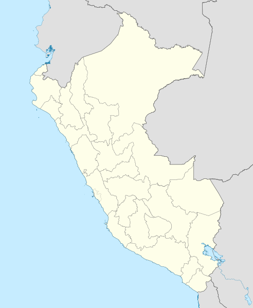
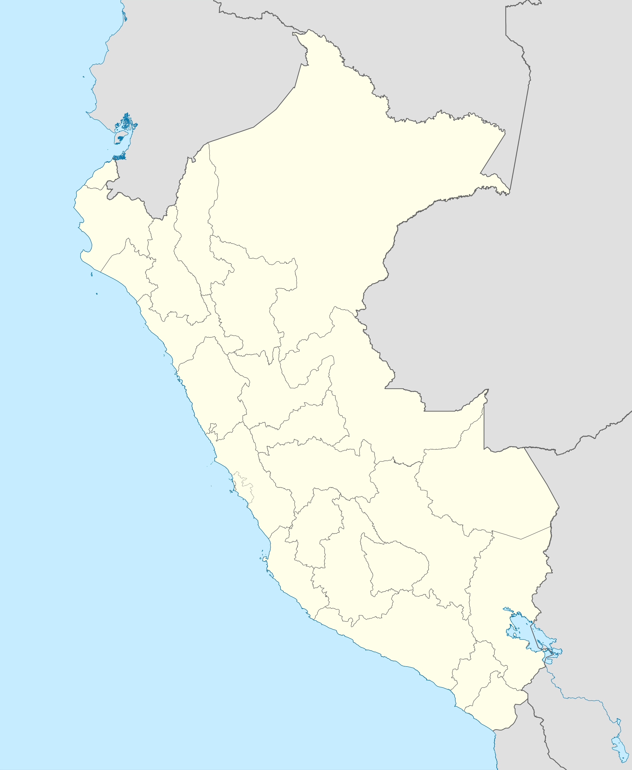
English: Blank political map of Peru
Equirectangular projection, Geographic limits of the map:
|
| Petsa | (UTC) |
| Ginkuhaan | Peru_-_(Template).svg |
| Awtor | User:Spischot |
.svg)
| This is a retouched picture, which means that it has been digitally altered from its original version. Modifications: Changed style to conform location maps 2008. The original can be viewed here: Peru - (Template).svg:
|
Palilisensya:
I, the copyright holder of this work, hereby publish it under the following license:
Ini nga file in nakalisensya ha ilarom han Creative Commons Attribution-Share Alike 3.0 Unported license.
- Talwas ka:
- para han pagpasaro – para han pagkopya, pagpakalat ngan pagpadangat han buhat
- para han pagremix – pag-adapt han buhat
- Ha ilarom an masunod nga mga kondisyon:
- attribution – Kinahanglanon mo tagan hin kaangayan nga credit, paghatag hin sumpay ngadto ha lisensya, ngan igbutang an imo ginbag-ohan nga binuhat. Puydi mo ini buhaton ha bisan ano nga resonable nga pamaagi, pero diri nimo pagawson nga an naghatag hin lisensya nag-eendorso ha imo o ha imo paggamit.
- share alike – Kun imo ginsagol-hin-otro, gin-iba, o gin-hingayad han buhat, ikaw in angay gud là magpakalat han imo gin-amot ha ilarom la han [http:creativecommons.org/share-your-work/licensing-considerations/compatible-licenses pareho o naangay nga lisensya] sugad han orihinal.
Original upload log
This image is a derivative work of the following images:
- File:Peru_-_(Template).svg licensed with Cc-by-sa-3.0
- 2009-07-21T07:54:54Z Huhsunqu 820x1000 (1674312 Bytes) detail map
- 2009-07-15T06:39:44Z Huhsunqu 820x1000 (1396540 Bytes) ANCHOS
- 2009-07-06T05:07:34Z Huhsunqu 820x1000 (1398457 Bytes) {{Information |Description={{en|1=Blank political map of Perú}} {{es|1=Mapa plantilla de las regiones y departamentos del Perú.}} |Source=trabajo propio (own work) |Author=[[User:Huhsunqu|Huhsunqu]] |Date=2009-07-05 |Permis
Uploaded with derivativeFX
Kaagi han paypay
Pidlita an adlaw/oras para makit-an an fayl nga naggawas hito nga oras.
| Pitsa/Oras | Thumbnail | Mga dimensyon | Gumaramit | Komento | |
|---|---|---|---|---|---|
| waray pa kasasapawi | 00:52, 12 Marso 2023 | | 2,200 × 2,679 (15.72 nga MB) | Waterloo1883 | Corrección del marco izquierdo y disminución del grosor de los limites administrativos. |
| 22:15, 23 Disyembre 2020 |  | 1,033 × 1,258 (13.78 nga MB) | Waterloo1883 | Límites departamentales actuales. | |
| 19:20, 1 Mayo 2018 |  | 820 × 1,000 (777 nga KB) | Janitoalevic | Fixed size | |
| 18:54, 1 Mayo 2018 |  | 875 × 1,067 (775 nga KB) | Janitoalevic | *Fixed coastline, international and internal borders. *Added San Lorenzo island *Better Lake Titicaca | |
| 21:33, 23 Oktubre 2009 |  | 820 × 1,000 (807 nga KB) | Spischot | {{Information |Description={{en|1=Blank political map of en:Peru}} Equirectangular projection, Geographic limits of the map: * N: 0.73° N * S: 19.36° S * W: 83.25° W * E: 66.75° W |Source=*File:Peru_-_(Template).svg |Date=2009-10-23 21:27 |
.svg)
Mga Sumpay
An mga nasunod nga mga pakli nasumpay hini nga paypay:
Global file usage
An masunod nga iba nga mga wiki in nagamit hini nga file:
- Paggamit ha af.wikipedia.org
- Paggamit ha an.wikipedia.org
- Paggamit ha ar.wikipedia.org
- Paggamit ha ast.wikipedia.org
- Llagu Titicaca
- Ríu Amazones
- Lima
- Rumicolca
- Base aérea El Pato
- Concepción (Perú)
- Ríu Apurímac
- Mismi
- Ríu Madre de Dios
- Cuzco
- Sacsayhuamán
- Jenaro Herrera (Perú)
- Palaciu Llexislativu del Perú
- La Rinconada (Perú)
- Santuariu históricu de Machu Picchu
- Tabayones les Trés Hermanes
- Tabayón Yumbilla
- Catarata Gocta
- Huandoy
- Huascarán
- Yerupajá
- Módulu:Mapa de llocalización/datos/Perú
- Módulu:Mapa de llocalización/datos/Perú/usu
- Copa América 2004
- Campeonatu Descentralizáu 2018
- Callao
- Universidá Inca Garcilaso de la Vega
- Aeropuertu Alf. FAP David Figueroa Fernandini
- Aeropuertu Cadete FAP Guillermo del Castillo Paredes
- Aeropuertu Capitán FAP Renán Elías Olivera
- Aeropuertu Francisco Carlé
- Aeropuertu Internacional Alejandro Velasco Astete
- Aeropuertu Internacional Capitán FAP José A. Quiñones
- Aeropuertu Internacional Coronel FAP Carlos Ciriani Santa Rosa
- Aeropuertu Internacional Inca Manco Cápac
Kitaa durudamo nga global usage hinin nga file.