
Paypay:Sweden Västernorrland location map.svg

Size of this PNG preview of this SVG file: 633 × 599 nga mga pixel. Iba nga mga resolusyon: 253 × 240 nga mga pixel | 507 × 480 nga mga pixel | 811 × 768 nga mga pixel | 1,081 × 1,024 nga mga pixel | 2,163 × 2,048 nga mga pixel | 1,000 × 947 nga mga pixel.
Orihinal nga paypay (SVG nga fayl, ginbabanabanahan nga 1,000 × 947 nga mga pixel, kadako han fayl: 288 nga KB)
Dalikyat nga pulong
| Tigtulidong |
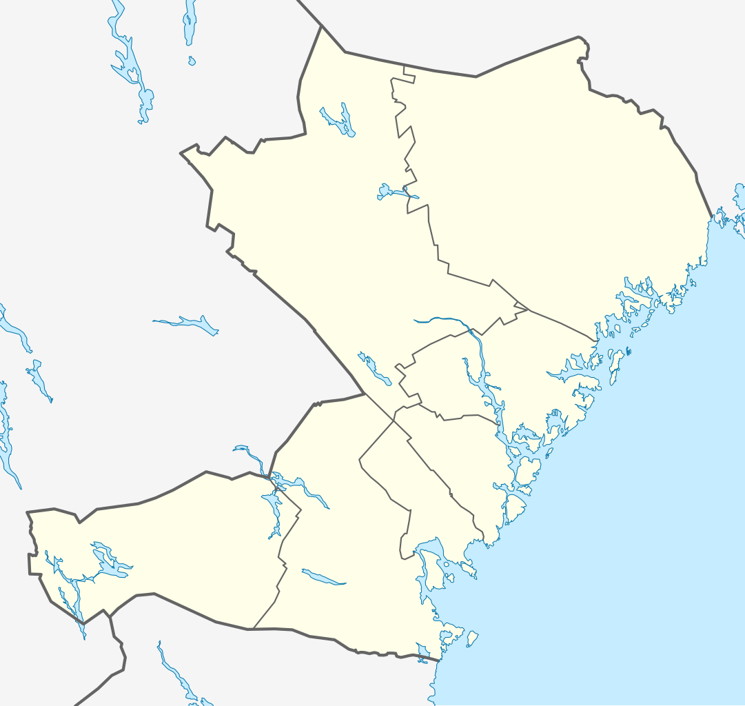
English: Location map of Västernorrland county in Sweden
Equirectangular projection, N/S stretching 220 %. Geographic limits of the map:
Deutsch: Positionskarte von Västernorrlands län in Schweden
Quadratische Plattkarte, N-S-Streckung 220 %. Geographische Begrenzung der Karte:
Svenska: Karta över Västernorrland i Sverige
Equirectangular projection, N / S sträcker sig 220%. Geografiska gränser för kartan:
|
| Petsa | |
| Ginkuhaan | Kalugaringon nga buhat |
| Awtor | Erik Frohne |
Palilisensya:
I, the copyright holder of this work, hereby publish it under the following licenses:

|
An permiso in ginhatag ha pagkopya, pagpakalat ngan/o pagliwat hinin nga dokumento ha ilarom han mga termino han GNU Free Documentation License, Version 1.2 o mas uruurhi nga version nga ginmantala han Free Software Foundation; nga may-ada waray Invariant Sections, waray Front-Cover Texts, ngan waray Back-Cover Texts. May-ada kopya hin lisensya nga ginlalakip ha seksyon nga may-ada pamagat nga GNU Free Documentation License. |
Ini nga file in nakalisensya ha ilarom han Creative Commons Attribution-Share Alike 3.0 Unported license.
- Talwas ka:
- para han pagpasaro – para han pagkopya, pagpakalat ngan pagpadangat han buhat
- para han pagremix – pag-adapt han buhat
- Ha ilarom an masunod nga mga kondisyon:
- attribution – Kinahanglanon mo tagan hin kaangayan nga credit, paghatag hin sumpay ngadto ha lisensya, ngan igbutang an imo ginbag-ohan nga binuhat. Puydi mo ini buhaton ha bisan ano nga resonable nga pamaagi, pero diri nimo pagawson nga an naghatag hin lisensya nag-eendorso ha imo o ha imo paggamit.
- share alike – Kun imo ginsagol-hin-otro, gin-iba, o gin-hingayad han buhat, ikaw in angay gud là magpakalat han imo gin-amot ha ilarom la han [http:creativecommons.org/share-your-work/licensing-considerations/compatible-licenses pareho o naangay nga lisensya] sugad han orihinal.
Puydi ka pumili hin lisenysa nga karuyag mo.
Kaagi han paypay
Pidlita an adlaw/oras para makit-an an fayl nga naggawas hito nga oras.
| Pitsa/Oras | Thumbnail | Mga dimensyon | Gumaramit | Komento | |
|---|---|---|---|---|---|
| waray pa kasasapawi | 16:43, 23 Pebrero 2009 | | 1,000 × 947 (288 nga KB) | Erik Frohne | {{Information |Description={{en|1=Location map of Västernorrland county in Sweden Equirectangular projection, N/S stretching 220 %. Geographic limits of the map: * N: 64.10° N * S: 62.00° N * W: 14.60° E * E: 19.50° E}} {{de|1=Positionskarte von V� |
Mga Sumpay
An mga nasunod nga mga pakli nasumpay hini nga paypay:
Global file usage
An masunod nga iba nga mga wiki in nagamit hini nga file:
- Paggamit ha ar.wikipedia.org
- Paggamit ha bg.wikipedia.org
- Paggamit ha ceb.wikipedia.org
- Paggamit ha da.wikipedia.org
- Paggamit ha de.wikipedia.org
- Örnsköldsvik
- Sundsvall
- Ånge
- Härnösand
- Timrå
- Kramfors
- Sollefteå
- Högakustenbron
- Fränsta
- Norrporten Arena
- Vorlage:Infobox Ort in Schweden
- Selånger
- Hägglunds Arena
- Nordingrå
- Wikipedia:Kartenwerkstatt/Positionskarten/Europa
- Ramsele (Schweden)
- Vorlage:Infobox Ort in Schweden/Doku
- Vorlage:Positionskarte Schweden Västernorrland
- Västanåfallet
- Helgum
- Husum (Schweden)
- SCA Arena
- Sandöbron
- Söråker
- Utansjö
- Mellansel
Kitaa durudamo nga global usage hinin nga file.