
Paypay:Turks and Caicos Islands location map.svg

Size of this PNG preview of this SVG file: 800 × 516 nga mga pixel. Iba nga mga resolusyon: 320 × 206 nga mga pixel | 640 × 413 nga mga pixel | 1,024 × 660 nga mga pixel | 1,280 × 825 nga mga pixel | 2,560 × 1,651 nga mga pixel | 1,126 × 726 nga mga pixel.
Orihinal nga paypay (SVG nga fayl, ginbabanabanahan nga 1,126 × 726 nga mga pixel, kadako han fayl: 271 nga KB)
| Tigtulidong |
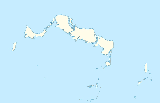
Deutsch: Positionskarte der Turks- und Caicosinseln
Quadratische Plattkarte, N-S-Streckung. Geographische Begrenzung der Karte:
English: Location map of the Turks and Caicos Islands
Equirectangular projection, N/S stretching. Geographic limits of the map:
|
| Petsa | |
| Ginkuhaan | own work, using the General Mapping Tools |
| Awtor | Carport |
| Pagtugot (Gin-uutro paggamit inin nga file) |
Ini nga file in nakalisensya ha ilarom han Creative Commons Attribution-Share Alike 3.0 Unported license.
|

|
This map has been made or improved in the German Kartenwerkstatt (Map Lab). You can propose maps to improve as well.
|
Kaagi han paypay
Pidlita an adlaw/oras para makit-an an fayl nga naggawas hito nga oras.
| Pitsa/Oras | Thumbnail | Mga dimensyon | Gumaramit | Komento | |
|---|---|---|---|---|---|
| waray pa kasasapawi | 09:38, 9 Abril 2010 | | 1,126 × 726 (271 nga KB) | Carport | borders corrected |
| 09:30, 9 Abril 2010 |  | 1,126 × 726 (271 nga KB) | Carport | {{Information |Description= {{de|Positionskarte der {{w|Turks- und Caicosinseln|3=de}} }} Quadratische Plattkarte, N-S-Streckung. Geographische Begrenzung der Karte: * N: 22.10° N * S: 21.14° N * W: 72.60° W * O: 71.00° W {{en|Location map of the {{w| |
Mga Sumpay
An mga nasunod nga mga pakli nasumpay hini nga paypay:
Global file usage
An masunod nga iba nga mga wiki in nagamit hini nga file:
- Paggamit ha af.wikipedia.org
- Paggamit ha an.wikipedia.org
- Paggamit ha ar.wikipedia.org
- Paggamit ha ast.wikipedia.org
- Paggamit ha ba.wikipedia.org
- Paggamit ha be-tarask.wikipedia.org
- Paggamit ha be.wikipedia.org
- Paggamit ha bg.wikipedia.org
- Paggamit ha ceb.wikipedia.org
- Plantilya:Location map United Kingdom Turks and Caicos Islands
- Long Bay
- Bird Island
- High Rock
- Grassy Creek
- South Rock
- South Bluff
- Blue Hills
- White Cay
- Water Cay
- Southwest Point
- Salt Cay
- Caye de Sel
- Pine Cay
- Hog Cay
- Pelican Cay
- Pear Cay
- Mangrove Cay
- Long Cay
- Iguana Cay
- French Cay
- Fish Cays
- Cotton Cay
- Conch Cay
- Cockburn Town
- Chalk Sound
- Breezy Point
- The Bight
- Ambergris Cays
- Toney Rock
- East Cay
- Seal Cays
- Little Water Cay
- Sand Cay
- East Bay
Kitaa durudamo nga global usage hinin nga file.