
Paypay:USA California Southern location map.svg

Size of this PNG preview of this SVG file: 685 × 387 nga mga pixel. Iba nga mga resolusyon: 320 × 181 nga mga pixel | 640 × 362 nga mga pixel | 1,024 × 579 nga mga pixel | 1,280 × 723 nga mga pixel | 2,560 × 1,446 nga mga pixel.
Orihinal nga paypay (SVG nga fayl, ginbabanabanahan nga 685 × 387 nga mga pixel, kadako han fayl: 430 nga KB)
Dalikyat nga pulong
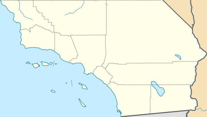
| Tigtulidong | Quadratische Plattkarte, N-S-Streckung 125 %. Geographische Begrenzung der Karte: * N: 35.7911111° N * S: 32.5342232° N * W: 121.342031° W * E: 114.131282° W Equirectangular projection, N/S stretching 125 %. Geographic limits of the map: * N: 35.7911111° N * S: 32.5342232° N * W: 121.342031° W * E: 114.131282° W | ||
| Petsa | |||
| Ginkuhaan | |||
| Awtor |
|
||
| SVG genesis | This locator map was created with Inkscape by NordNordWest.
|
Palilisensya:
I, the copyright holder of this work, hereby publish it under the following licenses:
This file is licensed under the Creative Commons Attribution 3.0 Unported license.
- Talwas ka:
- para han pagpasaro – para han pagkopya, pagpakalat ngan pagpadangat han buhat
- para han pagremix – pag-adapt han buhat
- Ha ilarom an masunod nga mga kondisyon:
- attribution – Kinahanglanon mo tagan hin kaangayan nga credit, paghatag hin sumpay ngadto ha lisensya, ngan igbutang an imo ginbag-ohan nga binuhat. Puydi mo ini buhaton ha bisan ano nga resonable nga pamaagi, pero diri nimo pagawson nga an naghatag hin lisensya nag-eendorso ha imo o ha imo paggamit.

|
An permiso in ginhatag ha pagkopya, pagpakalat ngan/o pagliwat hinin nga dokumento ha ilarom han mga termino han GNU Free Documentation License, Version 1.2 o mas uruurhi nga version nga ginmantala han Free Software Foundation; nga may-ada waray Invariant Sections, waray Front-Cover Texts, ngan waray Back-Cover Texts. May-ada kopya hin lisensya nga ginlalakip ha seksyon nga may-ada pamagat nga GNU Free Documentation License. |
Puydi ka pumili hin lisenysa nga karuyag mo.
Original upload log
This image is a derivative work of the following images:
- USA California location map.svg licensed with Cc-by-3.0, GFDL
- 2009-06-05T19:17:46Z NordNordWest 1022x1171 (491838 Bytes) more detailed
- 2009-03-12T21:50:35Z NordNordWest 1020x1169 (394722 Bytes) {{Information |Description= {{de|Positionskarte von [[:de:Kalifornien|Kalifornien]], [[:de:USA|USA]]}} Quadratische Plattkarte, N-S-Streckung 125 %. Geographische Begrenzung der Karte: * N: 42.2° N * S: 32.3° N * W: 124.7°
Uploaded with derivativeFX
Kaagi han paypay
Pidlita an adlaw/oras para makit-an an fayl nga naggawas hito nga oras.
| Pitsa/Oras | Thumbnail | Mga dimensyon | Gumaramit | Komento | |
|---|---|---|---|---|---|
| waray pa kasasapawi | 23:31, 25 Nobyembre 2011 | | 685 × 387 (430 nga KB) | Banaticus | == {{int:filedesc}} == {{Information |Description={{de|Positionskarte von Kalifornien, USA}} Quadratische Plattkarte, N-S-Streckung 125 %. Geographische Begrenzung der Karte: * N: 35.7911111° N * S: 32.5342232° N * W: 121 |
Mga Sumpay
An mga nasunod nga mga pakli nasumpay hini nga paypay:
Global file usage
An masunod nga iba nga mga wiki in nagamit hini nga file:
- Paggamit ha ar.wikipedia.org
- Paggamit ha azb.wikipedia.org
- Paggamit ha ceb.wikipedia.org
- Paggamit ha ckb.wikipedia.org
- Paggamit ha en.wikipedia.org
- L. Ron Hubbard
- El Centro, California
- Holtville, California
- Salton City, California
- Boron, California
- Frazier Park, California
- Inyokern, California
- Lake of the Woods, California
- Lebec, California
- Ridgecrest, California
- Bell Gardens, California
- Inglewood, California
- Littlerock, California
- South Gate, California
- Willowbrook, California
- Laguna Woods, California
- Newport Beach, California
- Desert Hot Springs, California
- Idyllwild–Pine Cove, California
- Indio, California
- Palm Desert, California
- Adelanto, California
- Apple Valley, California
- Barstow, California
- Lake Arrowhead, California
- Montclair, California
- San Bernardino, California
- Yucaipa, California
- Julian, California
- National City, California
- Poway, California
- Rancho Santa Fe, California
- Winter Gardens, California
- Cambria, California
Kitaa durudamo nga global usage hinin nga file.