
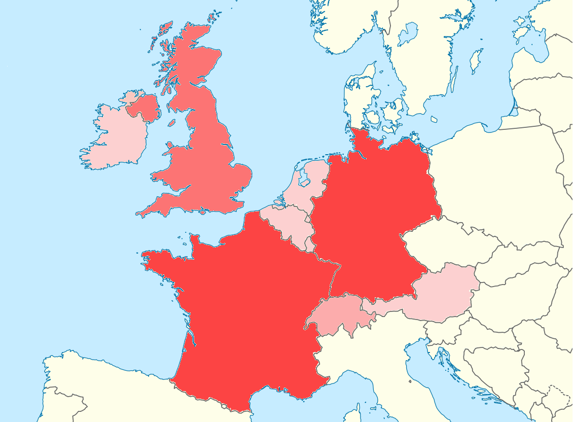
Paypay:Western Europe World Heritage Sites.png
Kadako hin nga pahiuna nga pagawas: 800 × 589 nga mga pixel. Iba nga mga resolusyon: 320 × 236 nga mga pixel | 640 × 471 nga mga pixel | 1,024 × 754 nga mga pixel | 1,130 × 832 nga mga pixel.
Orihinal nga paypay (1,130 × 832 nga pixel, kadako han fayl: 174 nga KB, MIME nga tipo: image/png)
Dalikyat nga pulong
| Tigtulidong |
Deutsch: Positionskarte Europa; Politisch mit Staatsgrenzen; Flächentreue Azimutalprojektion English: Location map Europe; Political with state boundaries; Lambert azimuthal equal-area projection * Projection: LAEA Europe, EPSG:3035 * Longitude of projection center: 10° E * Latitude of projection center: 52° N * Map extent (LAEA Europe) Xmin,Ymin to Xmax, Ymax: 2555000, 1350000 to 7405000, 5500000 * Map extent (WGS84) (lon,lat of lower left and upper right corner): -8.9067, 33.2307 to 72.9617, 58.9174 |
| Petsa | (UTC) |
| Ginkuhaan |
This file was derived from: Europe blank laea location map.svg: |
| Awtor |
|
| This is a retouched picture, which means that it has been digitally altered from its original version. Modifications: cut image down to only show Western Europe. Added colors based on number of UNESCO World Heritage Sites. The original can be viewed here: Europe blank laea location map.svg:
|
Palilisensya:
I, the copyright holder of this work, hereby publish it under the following license:
Ini nga file in nakalisensya ha ilarom han Creative Commons Attribution-Share Alike 3.0 Unported license.
- Talwas ka:
- para han pagpasaro – para han pagkopya, pagpakalat ngan pagpadangat han buhat
- para han pagremix – pag-adapt han buhat
- Ha ilarom an masunod nga mga kondisyon:
- attribution – Kinahanglanon mo tagan hin kaangayan nga credit, paghatag hin sumpay ngadto ha lisensya, ngan igbutang an imo ginbag-ohan nga binuhat. Puydi mo ini buhaton ha bisan ano nga resonable nga pamaagi, pero diri nimo pagawson nga an naghatag hin lisensya nag-eendorso ha imo o ha imo paggamit.
- share alike – Kun imo ginsagol-hin-otro, gin-iba, o gin-hingayad han buhat, ikaw in angay gud là magpakalat han imo gin-amot ha ilarom la han [http:creativecommons.org/share-your-work/licensing-considerations/compatible-licenses pareho o naangay nga lisensya] sugad han orihinal.
Original upload log
This image is a derivative work of the following images:
- File:Europe_blank_laea_location_map.svg licensed with Cc-by-sa-3.0
- 2010-03-11T20:50:37Z Alexrk2 1401x1198 (1928257 Bytes) fixing inland water
- 2010-03-11T19:58:40Z Alexrk2 1401x1198 (1920292 Bytes) == Summary == {{Information |Description= {{de|Positionskarte [[:de:Europa|Europa]]; Politisch mit Staatsgrenzen; Flächentreue Azimutalprojektion}} {{en|Location map [[:en:Europe|Europe]]; Political with state boundaries; La
Uploaded with derivativeFX
Kaagi han paypay
Pidlita an adlaw/oras para makit-an an fayl nga naggawas hito nga oras.
| Pitsa/Oras | Thumbnail | Mga dimensyon | Gumaramit | Komento | |
|---|---|---|---|---|---|
| waray pa kasasapawi | 21:03, 23 Pebrero 2012 | | 1,130 × 832 (174 nga KB) | Tobyc75 | == {{int:filedesc}} == {{Information |Description={{de|Positionskarte Europa; Politisch mit Staatsgrenzen; Flächentreue Azimutalprojektion}} {{en|Location map Europe; Political with state boundaries; Lambert azimuthal equ... |
Mga Sumpay
An mga nasunod nga mga pakli nasumpay hini nga paypay:
Global file usage
An masunod nga iba nga mga wiki in nagamit hini nga file:
- Paggamit ha ar.wikipedia.org
- Paggamit ha ceb.wikipedia.org
- Paggamit ha da.wikipedia.org
- Paggamit ha fa.wikipedia.org
- Paggamit ha kn.wikipedia.org
- Paggamit ha tr.wikipedia.org